South Pass (Wyoming)
Videos
Page
South Pass is a route across the Continental Divide, in the Rocky Mountains in southwestern Wyoming. It lies in a broad high region, 35 miles (56 km) wide, between the nearly 14,000 ft (4,300 m) Wind River Range to the north and the over 8,500 ft (2,600 m) Oregon Buttes and arid, saline near-impassable Great Divide Basin to the south. The Pass lies in southwestern Fremont County, approximately 35 miles (56 km) SSW of Lander.
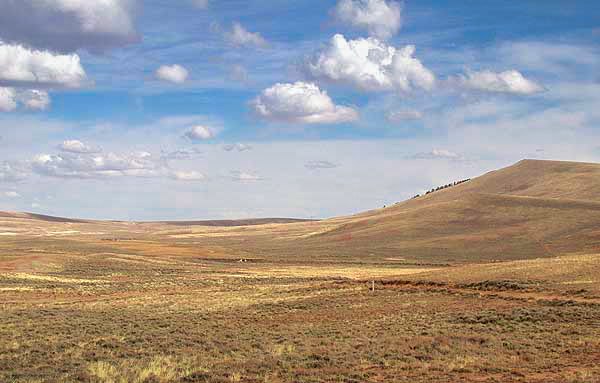
Historic South Pass, seen from the east looking westward towards Pacific Springs

South Pass marker

Oregon Buttes - a wilderness study area on the Oregon Trail near South Pass City

Ezra Meeker erected this boulder near Pacific Springs in 1906 to mark the trail.
Wyoming
Videos
Page
Wyoming is a landlocked state in the Mountain West subregion of the Western United States. It borders Montana to the north and northwest, South Dakota and Nebraska to the east, Idaho to the west, Utah to the southwest, and Colorado to the south. With a population of 576,851 in 2020, Wyoming is the least populous state despite being the 10th largest by area, with the second-lowest population density after Alaska. The state capital and most populous city is Cheyenne, which had a population of 65,132 in 2020.
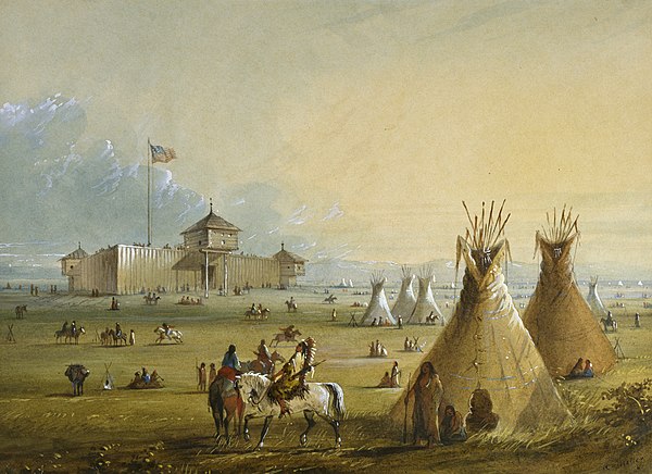
The first Fort Laramie as it looked before 1840 (painting from memory by Alfred Jacob Miller)

On July 10, 1940, the U.S. Post Office issued a postage stamp commemorating the 50th anniversary of Wyoming statehood. The engraving depicts the Wyoming state seal, which features a central figure of a woman in front of a banner reading 'equal rights'

Autumn in the Bighorn Mountains
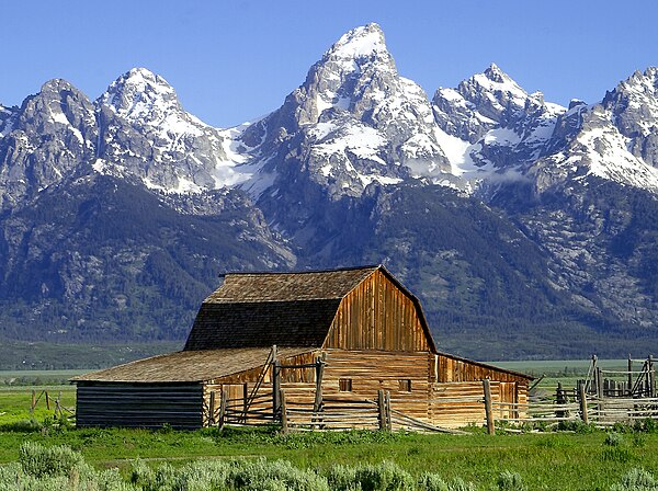
Teton Range