South Tarawa
Videos
Page
South Tarawa is the capital and hub of the Republic of Kiribati and home to more than half of Kiribati's population. The South Tarawa population centre consists of all the small islets from Betio in the west to Bonriki and Tanaea in the north-east, connected by the South Tarawa main road, with a population of 63,439 as of 2020.

Image: South Tarawa from the air
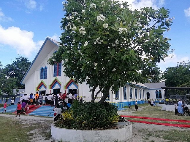
Image: Sacred Heart Cathedral (Tarawa)
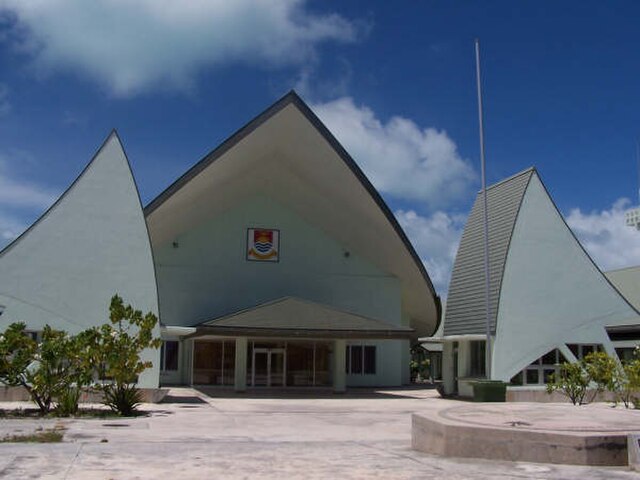
Image: Kiribati Parliament House
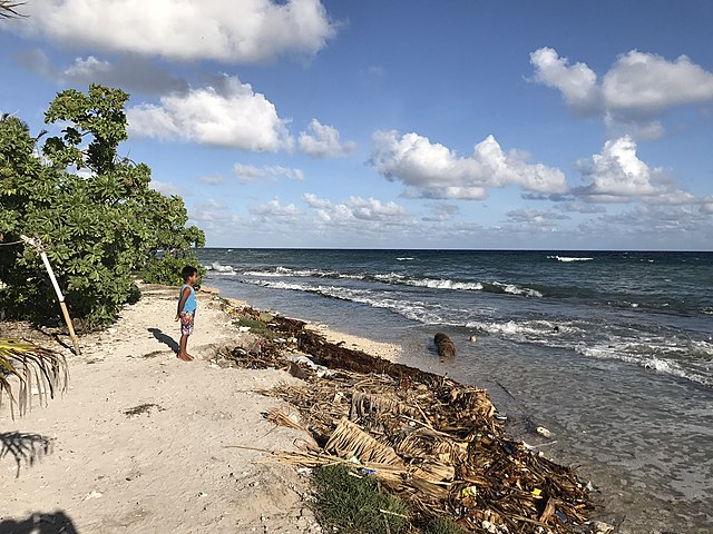
Image: Teaoraereke, South Tarawa, Kiribati
Kiribati
Videos
Page
Kiribati, officially the Republic of Kiribati, is an island country in the Micronesia subregion of Oceania in the central Pacific Ocean. Its permanent population is over 119,000 as of the 2020 census, with more than half living on Tarawa atoll. The state comprises 32 atolls and one remote raised coral island, Banaba. Its total land area is 811 km2 (313 sq mi) dispersed over 3,441,810 km2 (1,328,890 sq mi) of ocean.
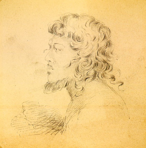
Portrait of a native of the Makin Islands, drawn by Alfred Thomas Agate (1841)

Declaration of a protectorate on Abemama by Captain EHM Davis, 27 May 1892
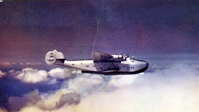
Boeing 314 Clipper in cruise, 1940
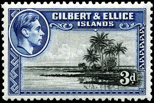
Stamp with portrait of King George VI, 1939