A southerly buster is the colloquial name of an abrupt southerly wind change in the southern regions of New South Wales and Victoria, Australia, which approaches from the southeast, mainly on a hot day, bringing in cool, usually severe weather and a dramatic temperature drop, thus ultimately replacing and relieving the prior hot conditions. Marking the boundary between hot and cool air masses, a southerly buster is sometimes represented by a roll-up cloud perpendicular to the coast, which appears from the south and coexists with the wind change, though sometimes there is little visual signal of the southerly's arrival.
Arrival of a southerly buster in Sydney, over the Royal National Park.
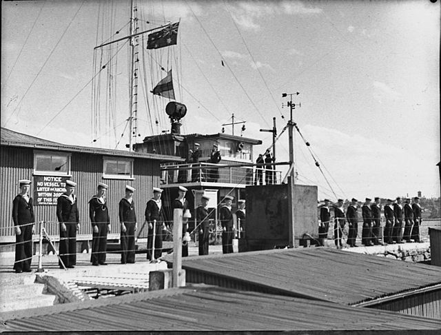
Navy League sea cadets at Schnapper Island with signal staff behind.
For a southerly buster to occur, a cold front approaching the southeast of Australia should lie between two high pressure systems; one in the Tasman Sea and the other in the Great Australian Bight.
Artist's impression of Dandenong (right) sinking in Jervis Bay in 1876
A sea breeze or onshore breeze is any wind that blows from a large body of water toward or onto a landmass. By contrast, a land breeze or offshore breeze is any wind that blows from a landmass toward or onto a large body of water. The term offshore wind may refer to any wind over open water. Sea breezes and land breezes are both important factors in coastal regions' prevailing winds.
Sea breeze moving across the water (towards the viewer) in Hobart, Tasmania, Australia