Southern California Bight
The Southern California Bight is a 692-kilometer-long stretch of curved coastline that runs along the west coast of the United States and Mexico, from Point Conception in California to Punta Colonet in Baja California, plus the area of the Pacific Ocean defined by that curve. This includes the Channel Islands of California and the Coronado Islands and Islas de Todo Santos of Baja California.
ISS view of the Southern California Bight, which stretches from Point Conception (top left) to Punta Colonet (bottom left)
Satellite view of the Southern California Bight in California, including the Channel Islands
Mountainous stretch of coastline between Tijuana and Ensenada, Baja California
Coastal fog blankets the city of Ensenada on an April evening. The fog typically evaporates by midday.
West Coast of the United States
The West Coast of the United States – also known as the Pacific Coast, and the Western Seaboard – is the coastline along which the Western United States meets the North Pacific Ocean. The term typically refers to the contiguous U.S. states of California, Oregon, and Washington, but sometimes includes Alaska and Hawaii, especially by the United States Census Bureau as a U.S. geographic division.
The Coast Starlight, an Amtrak passenger train that traverses most of the West Coast
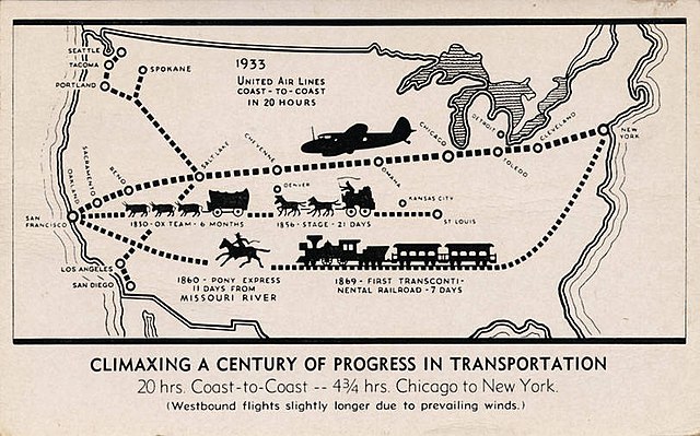
Image: Climaxing A Century Of Progress In Transportation (NBY 415278)
Image: LA Skyline Mountains 2
Image: San Francisco Financial District


