Southern Oregon Coast Range
The Southern Oregon Coast Range is the southernmost section of the Oregon Coast Range, in the Pacific Coast Ranges, located in the southwest portion of the state of Oregon, United States, roughly between the Umpqua River and the middle fork of the Coquille River, beyond which are the Klamath Mountains. To the east is the Umpqua Valley and to the west the Pacific Ocean. This approximately 55-mile (89 km)-long mountain range contains mountains as high as 3,547 feet (1,081 m) for Bone Mountain. The mountains are known locally in the Roseburg area as the Callahan Mountains, or simply as The Callahans.
Cow Creek, a tributary of the South Umpqua River
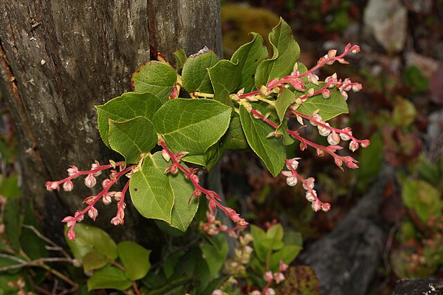
Salal (Gaultheria shallon)
The Oregon Coast Range, often called simply the Coast Range and sometimes the Pacific Coast Range, is a mountain range, in the Pacific Coast Ranges physiographic region, in the U.S. state of Oregon along the Pacific Ocean. This north-south running range extends over 200 miles (320 km) from the Columbia River in the north on the border of Oregon and Washington, south to the middle fork of the Coquille River. It is 30 to 60 miles wide and averages around 1,500 feet (460 m) in elevation above sea level. The coast range has three main sections, a Northern, Central, and Southern.
The Northern Coast Range, seen from Saddle Mountain in Clatsop County
Exposed pillow lava in the Northern range
Snow on South Saddle Mountain
Road through the Northern section showing the mix of deciduous and coniferous trees


