Southgate is one of the 14 residential neighbourhoods in Crawley, a town and borough in West Sussex, England. Crawley was planned and laid out as a New Town after the Second World War, based on the principle of self-contained neighbourhoods surrounding a town centre of civic and commercial buildings. Southgate was one of the four in the "inner ring" closest to the town centre, and was intended to be the largest of the nine designed in the original master plan. It was built in two stages between the 1950s and the 1970s, but retains some older buildings from before the New Town era and has "significant areas of pre-New Town character".
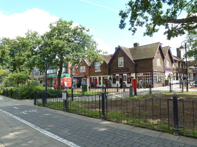
The 1950s shopping parade at Wakehurst Drive, Southgate East
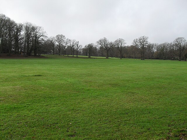
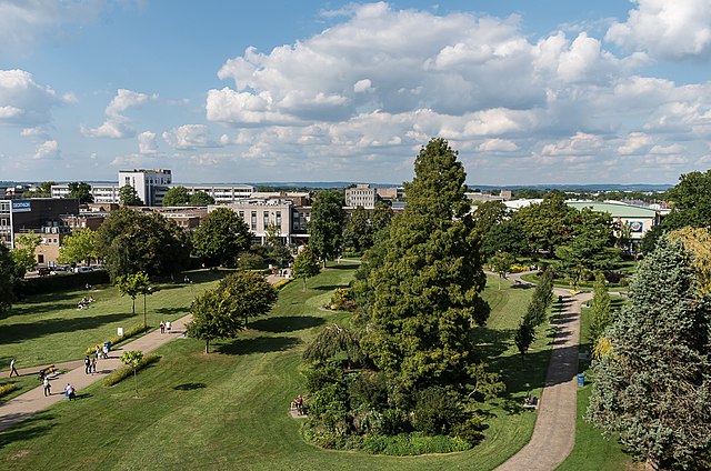
Goffs Park
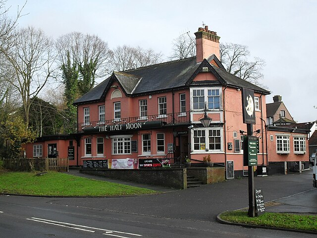
The Half Moon Pub
Victorian houses in Malthouse Road
Crawley is a town and borough in West Sussex, England. It is 28 miles (45 km) south of London, 18 miles (29 km) north of Brighton and Hove, and 32 miles (51 km) north-east of the county town of Chichester. Crawley covers an area of 17.36 square miles (44.96 km2) and had a population of 106,597 at the time of the 2011 Census.
Image: August 2011 in Crawley's historic High Street (q) geograph.org.uk 2555359
Image: Queens Square, Crawley (geograph 5814836)
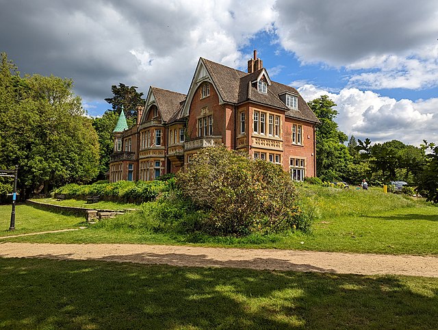
Image: Goffs Park House, Crawley (geograph 7188075)
Image: Memorial Gardens (geograph 5531397)