Spherical Earth or Earth's curvature refers to the approximation of the figure of the Earth as a sphere.
The earliest documented mention of the concept dates from around the 5th century BC, when it appears in the writings of Greek philosophers. In the 3rd century BC, Hellenistic astronomy established the roughly spherical shape of Earth as a physical fact and calculated the Earth's circumference. This knowledge was gradually adopted throughout the Old World during Late Antiquity and the Middle Ages. A practical demonstration of Earth's sphericity was achieved by Ferdinand Magellan and Juan Sebastián Elcano's circumnavigation (1519–1522).
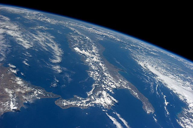
Image from space: The curved surface of the spherical planet Earth
Medieval artistic representation of a spherical Earth – with compartments representing earth, air, and water (c. 1400)
The Erdapfel, the oldest surviving terrestrial globe (1492/1493)
In geodesy, the figure of the Earth is the size and shape used to model planet Earth. The kind of figure depends on application, including the precision needed for the model. A spherical Earth is a well-known historical approximation that is satisfactory for geography, astronomy and many other purposes. Several models with greater accuracy have been developed so that coordinate systems can serve the precise needs of navigation, surveying, cadastre, land use, and various other concerns.
A view across a 20-km-wide bay in the coast of Spain. The curvature of the Earth is evident in the horizon across the image, and the bases of the buildings on the far shore are below that horizon and hidden by the sea.
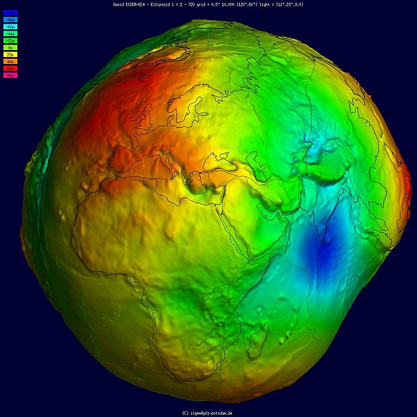
Geoid undulation in false color, shaded relief and vertical exaggeration (10000 scale factor).
Geoid undulation in false color, to scale.


