Springbrook National Park
The Springbrook National Park is a protected national park that is located in the Gold Coast hinterland of Queensland, Australia. The 6,197-hectare (15,310-acre) park is situated on the McPherson Range, near Springbrook, approximately 100 kilometres (62 mi) south of Brisbane. The park is part of the Shield Volcano Group of the UNESCO World Heritage–listed Gondwana Rainforests of Australia.
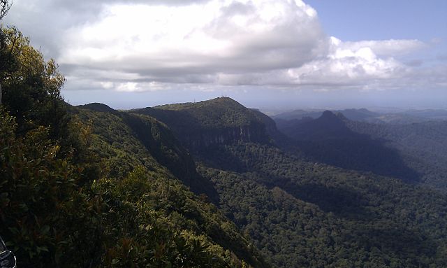
The peaks of Springbrook form the north-eastern remains of the eroded Mount Warning caldera. Mount Cougal and the Gold Coast urban strip can also be seen.
Springbrook Plateau to the left of Numinbah Valley and Lamington National Park.
Waterfall running through the Natural Bridge during summer.
Arachnocampa flava in one of the caves in the national park
The Gold Coast hinterland is an area of South East Queensland, Australia that comprises the Tweed Range, Nimmel Range, Tamborine Mountain, Numinbah Valley, eastern parts of the McPherson Range and western parts of suburban Gold Coast, such as Mudgeeraba. This undefined unit of area is known for its tourist attractions including resorts, rainforest, lookouts, national parks, its diversity of fauna and flora and as a green backdrop to the coastal strip. It overlaps part of the Scenic Rim and is part of both the City of Gold Coast and Scenic Rim Region and includes Springbrook, Binna Burra and O'Reilly.
The Natural Bridge, 2004
Cedar Creek Falls in Tamborine National Park, 2011
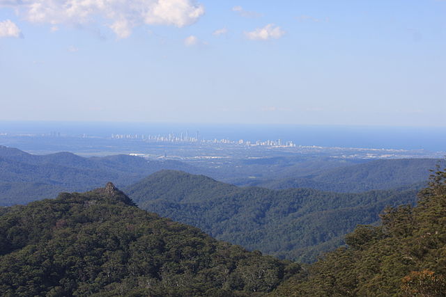
View towards the coast from Springbrook. The Surfers Paradise skyline can be seen in the distance.
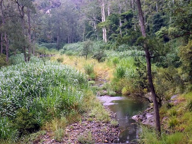
Nerang River in Numinbah Valley, 2016


