St. Georges Bridge (Delaware)
The St. Georges Bridge is a steel tied arch bridge that carries U.S. Route 13 (US 13) across the Chesapeake & Delaware Canal in St. Georges, Delaware. Built by the U.S. Army Corps of Engineers and opened in 1942 as a high-level crossing, the bridge was the first four-lane, high-level crossing to span the canal. It replaced a previous vertical lift bridge which was damaged when a German merchant ship collided with it.
St. Georges Bridge (Delaware)
Bridge deck showing the outer lane converted to a protected bike lane
U.S. Route 13 in Delaware
U.S. Route 13 (US 13) is a U.S. highway running from Fayetteville, North Carolina, north to Morrisville, Pennsylvania. In the U.S. state of Delaware, the route runs for 103.33 mi (166.29 km). It traverses the entire north–south length of the state from the Maryland state line in Delmar, Sussex County, north to the Pennsylvania state line in Claymont, New Castle County. US 13 connects many important cities and towns in Delaware, including Seaford, Dover, and Wilmington. The entire length of US 13 in Delaware is a multilane divided highway with the exceptions of the segment through Wilmington and parts of the route in Claymont. Between the Maryland state line and Dover, US 13 serves as one of the main north–south routes across the Delmarva Peninsula. From Dover north to Tybouts Corner, the route is followed by the controlled-access Delaware Route 1 (DE 1) toll road, which crosses the route multiple times and has multiple interchanges with it. US 13 bypasses downtown Wilmington to the east before it heads northeast of the city parallel to Interstate 495 (I-495) and the Delaware River to Claymont. US 13 is the longest numbered highway in the state of Delaware.
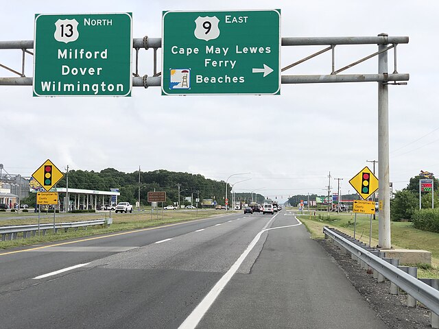
US 13 northbound at western terminus of US 9 in Laurel
US 13 northbound past the northern terminus of US 13 Alt. in Dover
US 13 northbound north of Odessa
US 13 northbound past DE 1 and DE 71 in Tybouts Corner


