St. Lawrence Island is located west of mainland Alaska in the Bering Sea, just south of the Bering Strait. The village of Gambell, located on the northwest cape of the island, is 50 nautical miles from the Chukchi Peninsula in the Russian Far East. The island is part of Alaska, but closer to Russia and Asia than to the Alaskan and North American mainland. St. Lawrence Island is thought to be one of the last exposed portions of the land bridge that once joined Asia with North America during the Pleistocene period. It is the sixth largest island in the United States and the 113th largest island in the world. It is considered part of the Bering Sea Volcanic Province. The Saint Lawrence Island shrew is a species of shrew endemic to St. Lawrence Island. The island is jointly owned by the predominantly Siberian Yupik villages of Gambell and Savoonga, the two main settlements on the island.
False color NASA Landsat image of St. Lawrence Island
The former Northeast Cape Air Force Station at St. Lawrence Island
The Bering Sea is a marginal sea of the Northern Pacific Ocean. It forms, along with the Bering Strait, the divide between the two largest landmasses on Earth: Eurasia and the Americas. It comprises a deep water basin, which then rises through a narrow slope into the shallower water above the continental shelves. The Bering Sea is named after Vitus Bering, a Danish navigator in Russian service, who, in 1728, was the first European to systematically explore it, sailing from the Pacific Ocean northward to the Arctic Ocean.
The Russian "Rurik" sets anchor near Saint Paul Island in the Bering Sea in order to load food and equipment for the expedition to the Chukchi sea in the north. Drawing by Louis Choris in 1817.
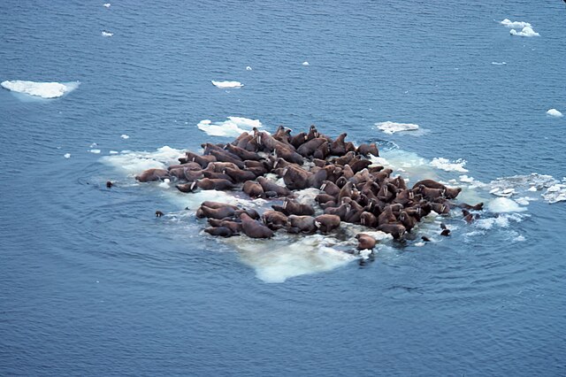
Walrus (Odobenus rosmarus divergens), hauled out on Bering Sea ice, Alaska, June 1978. (Source: NOAA)
Snailfish, a non-commercial fish, caught in the eastern Bering Sea
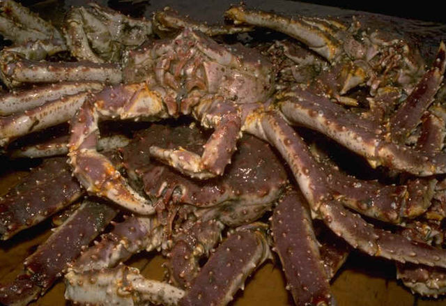
Red king crab


