Staffordshire and Worcestershire Canal
The Staffordshire and Worcestershire Canal is a navigable narrow canal in Staffordshire and Worcestershire in the English Midlands. It is 46 miles (74 km) long, linking the River Severn at Stourport in Worcestershire with the Trent and Mersey Canal at Haywood Junction by Great Haywood.
Kidderminster Lock on the Staffordshire and Worcestershire Canal
Bridge 105: a changeline bridge near Milford.
Hatherton Junction, the meeting of the Hatherton Canal (behind camera) and the Staffordshire and Worcestershire Canal (left and right) at Calf Heath, Staffordshire.
Pendeford Rockin' or 'The Narrows', here the canal is a narrow cutting through an outcrop of Keuper Sandstone either side of the Forster Bridge at Pendeford.
The River Severn, at 220 miles (354 km) long, is the longest river in Great Britain. It is also the river with the most voluminous flow of water by far in all of England and Wales, with an average flow rate of 107 m3/s (3,800 cu ft/s) at Apperley, Gloucestershire. It rises in the Cambrian Mountains in mid Wales, at an altitude of 2,001 feet (610 m), on the Plynlimon massif, which lies close to the Ceredigion/Powys border near Llanidloes. The river then flows through Shropshire, Worcestershire and Gloucestershire. The county towns of Shrewsbury, Worcester and Gloucester lie on its course.
The river seen from Shrewsbury Castle
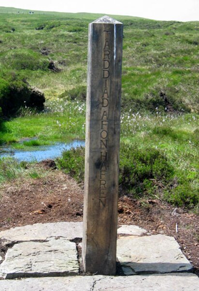
Post marked as the source of the River Severn on Plynlimon, Wales. The wording is in both English and Welsh.
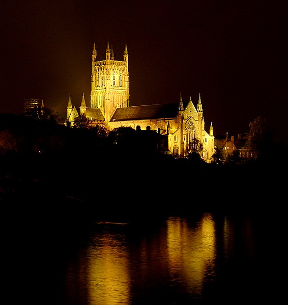
Worcester Cathedral overlooking the Severn
High Town, Bridgnorth.


