The Stanislaus River is a tributary of the San Joaquin River in north-central California in the United States. The main stem of the river is 96 miles (154 km) long, and measured to its furthest headwaters it is about 150 miles (240 km) long. Originating as three forks in the high Sierra Nevada, the river flows generally southwest through the agricultural San Joaquin Valley to join the San Joaquin south of Manteca, draining parts of five California counties. The Stanislaus is known for its swift rapids and scenic canyons in the upper reaches, and is heavily used for irrigation, hydroelectricity and domestic water supply.
Stanislaus River at the historic covered bridge in Knights Ferry
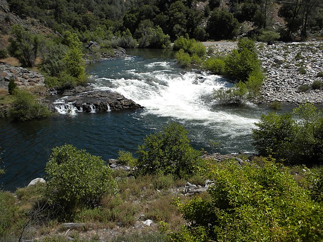
Stanislaus River at Camp Nine, near the confluence of the North and Middle Forks.
Kennedy Lake, near the headwaters of the Middle Fork, seen from Leavitt Peak (11,525 ft (3,513 m)) in the Emigrant Wilderness
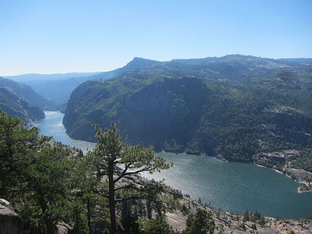
The Stanislaus River canyon at the Dardanelles area, where Donnells Lake reservoir is today, was formed by glaciation during the Ice Ages.
The San Joaquin River is the longest river of Central California. The 366-mile (589 km) long river starts in the high Sierra Nevada, and flows through the rich agricultural region of the northern San Joaquin Valley before reaching Suisun Bay, San Francisco Bay, and the Pacific Ocean. An important source of irrigation water as well as a wildlife corridor, the San Joaquin is among the most heavily dammed and diverted of California's rivers.
San Joaquin River near Vernalis
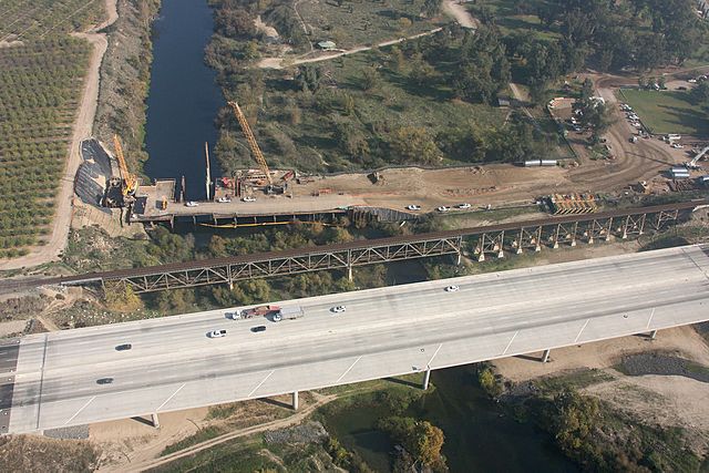
Crossings of California State Route 99 and the Union Pacific Railroad along the northern border of Fresno. The early stages of construction of California High-Speed Rail's San Joaquin River Viaduct is also visible.
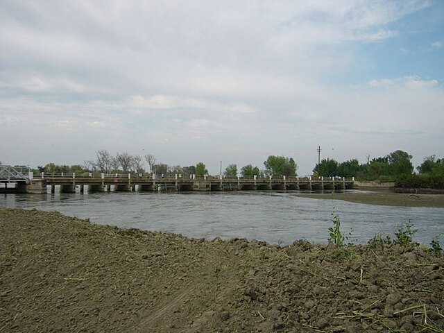
The San Joaquin at Mendota Pool during the high flows of April 2006
Headwaters of the Middle Fork San Joaquin River, just downstream of Thousand Island Lake


