State Street is a short street in the Financial District of Manhattan, New York City. It runs west from Whitehall Street as a continuation of Water Street, then turns north at Battery Park to become its eastern border. Passing Pearl and Bridge Streets, it terminates at the northeast corner of the park, at Bowling Green, where the roadway continues north as Broadway and west as Battery Place.
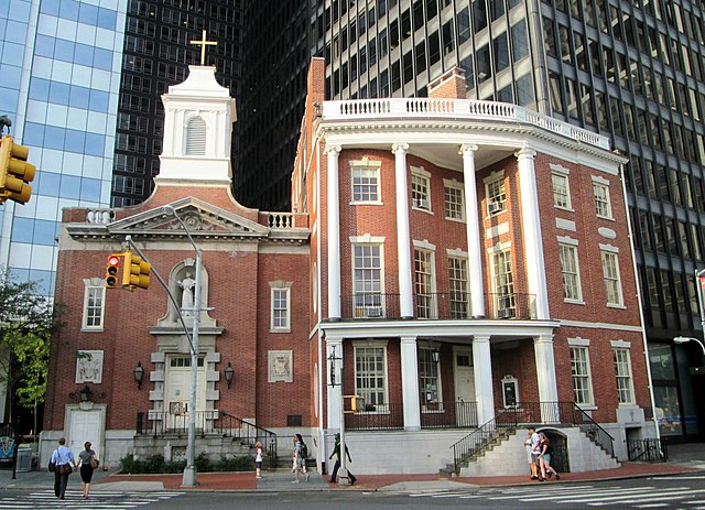
View of State Street from South Ferry. The building on the left is 17 State Street; between the two tall buildings can be seen at street level the red-brick James Watson House and the Church of Our Lady of the Rosary (the Shrine of St. Elizabeth Ann Bayley Seton)
The former James Watson House (right) and the Shrine of St. Elizabeth Ann Bayley Seton (left) on State Street
Whitehall Street is a street in the South Ferry/Financial District neighborhood of Lower Manhattan in New York City, near the southern tip of Manhattan Island. The street begins at Bowling Green to the north, where it is a continuation of the southern end of Broadway. Whitehall Street stretches four blocks to the southern end of FDR Drive, adjacent to the Staten Island Ferry's Whitehall Terminal, on landfill beyond the site of Peter Stuyvesant's 17th-century house.
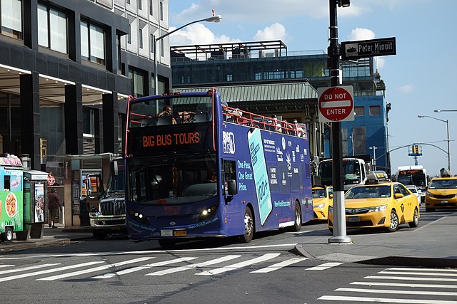
A bus on Whitehall Street at the intersection with State Street
On the 1660 Castello Plan, Whitehall Street runs roughly diagonally from bottom left to top right, below the star fort at center left.
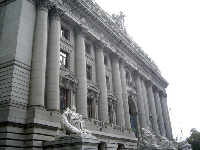
Alexander Hamilton U. S. Custom House seen from across Whitehall Street
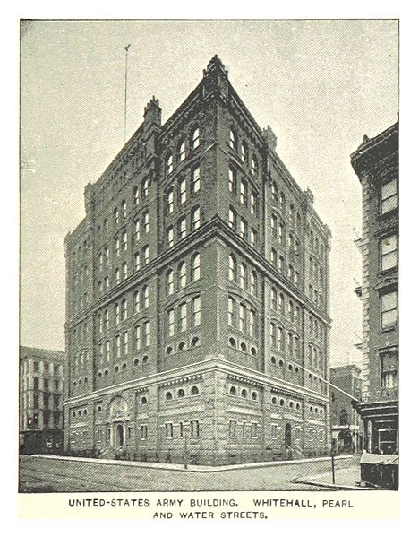
Army Building


