Staveley, Cumbria
Videos
Page
Staveley is a village in the South Lakeland district, in Cumbria, England. Historically part of Westmorland, it is situated 4 miles (6 km) northwest of Kendal where the River Kent is joined by its tributary the Gowan. It is also known as Staveley-in-Westmorland and Staveley-in-Kendal to distinguish it from Staveley-in-Cartmel. There are three civil parishes – Nether Staveley, Over Staveley and Hugill (part). Their total population at the 2011 Census was 1,593 but this includes those living in the hamlet of Ings in Hugill parish.
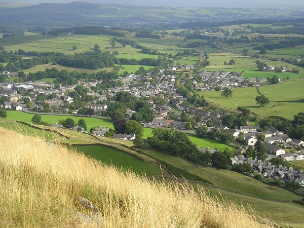
Staveley village viewed from Reston Scar
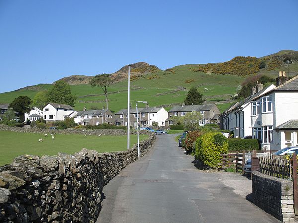
School Lane, below Reston Scar

Taken on Lily Fell looking west-northwest towards Banner Rigg
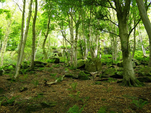
Craggy Plantation
River Kent
Videos
Page
The River Kent is a short river in the county of Cumbria in England. It originates in hills surrounding Kentmere, and flows for around 20 miles (32 km) into the north of Morecambe Bay. The upper reaches and the western bank of the estuary are located within the boundaries of the Lake District National Park. The river flows in a generally north to south direction, passing through Kentmere, Staveley, Burneside, Kendal and Sedgwick. Near Sedgwick, the river passes through a rock gorge which produces a number of low waterfalls. This section is popular with kayakers as it offers high quality whitewater for several days after rain. The village of Arnside is situated on the east bank of the Kent estuary, just above Morecambe Bay, and a tidal bore known as the Arnside Bore forms in the estuary at this point on high spring tides.

The River Kent in Kendal

River Kent near its source in Kentmere

Arnside, on the Kent estuary