The Stewartry was a local government district from 1975 until 1996 within the Dumfries and Galloway region in south-west Scotland. Under the name The Stewartry of Kirkcudbright the area of the former district is still used as a lieutenancy area. Dumfries and Galloway Council has a Stewartry area committee which approximately covers the same area, subject to some adjustments where ward boundaries no longer follow the pre-1996 district boundary. The Stewartry covers the majority of the historic county of Kirkcudbrightshire, and derives its name from the county's alternative name of "The Stewartry of Kirkcudbright".
County Buildings, 121–123 High Street, Kirkcudbright
Dumfries and Galloway is one of the 32 unitary council areas of Scotland, located in the western part of the Southern Uplands. It is bordered by East Ayrshire, South Ayrshire, and South Lanarkshire to the north; Scottish Borders to the north-east; the English ceremonial county of Cumbria, the Solway Firth, and the Irish Sea to the south, and the North Channel to the west. The administrative centre and largest settlement is the town of Dumfries. The second largest town is Stranraer, located 76 miles (122 km) to the west of Dumfries on the North Channel coast.
Dumfries and Galloway
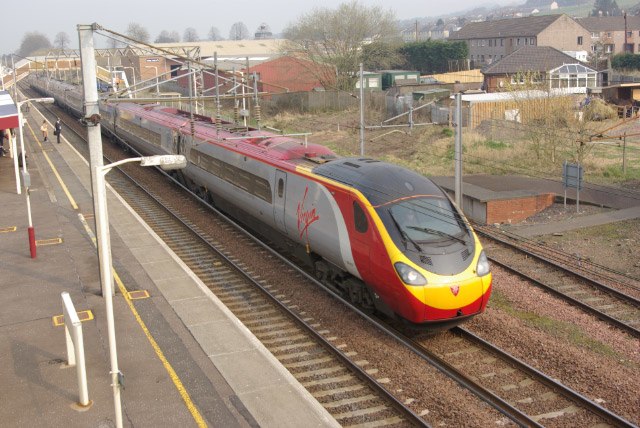
A Virgin Pendolino leaving Lockerbie station for Carlisle
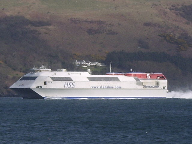
Stena Line provided HSS sailings between Stranraer and Belfast
The Minerva building of Dumfries Academy