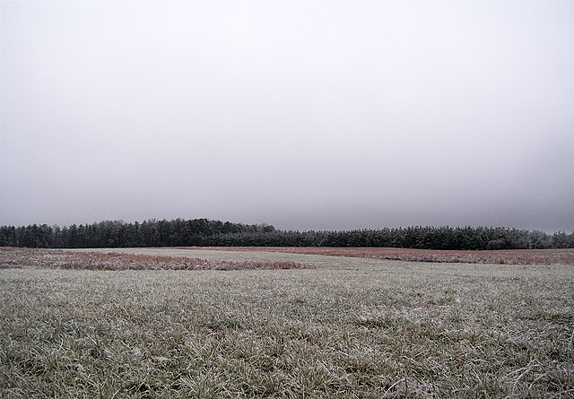
Stratus clouds are low-level clouds characterized by horizontal layering with a uniform base, as opposed to convective or cumuliform clouds formed by rising thermals. The term stratus describes flat, hazy, featureless clouds at low altitudes varying in color from dark gray to nearly white. The word stratus comes from the Latin prefix strato-, meaning "layer". Stratus clouds may produce a light drizzle or a small amount of snow. These clouds are essentially above-ground fog formed either through the lifting of morning fog or through cold air moving at low altitudes. Some call these clouds "high fog" for their fog-like form.
Stratus nebulosus opacus cloud
Stratus undulatus clouds during a rainy day.
A cirrostratus cloud
Stratocumulus cloud
In meteorology, a cloud is an aerosol consisting of a visible mass of miniature liquid droplets, frozen crystals, or other particles suspended in the atmosphere of a planetary body or similar space. Water or various other chemicals may compose the droplets and crystals. On Earth, clouds are formed as a result of saturation of the air when it is cooled to its dew point, or when it gains sufficient moisture from an adjacent source to raise the dew point to the ambient temperature.
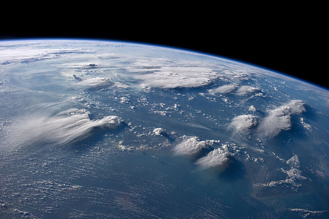
Cloudscape over Borneo, taken by the International Space Station
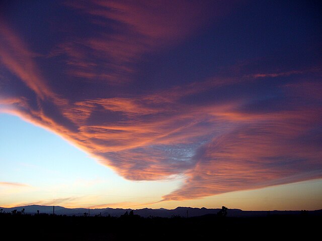
Windy evening twilight enhanced by the Sun's angle, can visually mimic a tornado resulting from orographic lift
Cirrus fibratus clouds in March
High cirrus upper-left merging into cirrostratus right and some cirrocumulus far right