Strip District, Pittsburgh
The Strip District is a neighborhood in Pittsburgh, Pennsylvania, United States. It is a one-half square mile area of land northeast of the central business district bordered to the north by the Allegheny River and to the south by portions of the Hill District. The Strip District runs between 11th and 33rd Streets and includes four main thoroughfares—Railroad Street/Waterfront Place, Smallman Street, Penn Avenue, and Liberty Avenue—as well as various side streets.
A view of Smallman Street in 2011
Pittsburgh's Strip District on February 5, 2024. Photo by Steven Adams
Springfield Public School, built in 1871, now the 31st Street Lofts.
St. Stanislaus Kostka Church, built in 1891.
The Hill District is a grouping of historically African American neighborhoods in the City of Pittsburgh, Pennsylvania. Beginning in the years leading up to World War I, "the Hill" was the cultural center of black life in the city and a major center of jazz. Despite its cultural and economic vibrancy, in the mid-1950s a substantial area was slated for redevelopment, displacing about 8,000 individuals.
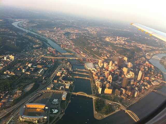
The Hill District is the largely green area visible above downtown Pittsburgh in this aerial photo.