The Suitland Parkway is a limited-access parkway in Washington, D.C., and Prince George's County, Maryland, administered and maintained by the U.S. National Park Service (NPS), National Capital Parks-East. The road has partial controlled access with a combination of interchanges and at-grade intersections, but without property access for neighboring land-owners. Conceived in 1937, it was built during World War II to provide a road connection between military facilities in the Washington, D.C. metropolitan area and is named after Suitland, Maryland. It fully opened on December 9, 1944 as the Camp Springs highway, so called because it connected Camp Springs in Prince George's County with Bolling Air Force Base. However one lane of the highway was opened in mid-October 1944.
Suitland Parkway and I-295 interchange in Washington, D.C.
Sign for Suitland Parkway eastbound after entering Maryland
Suitland is a suburb of Prince George's County, Maryland, approximately one mile (1.6 km) southeast of Washington, D.C. Suitland is a census designated place (CDP), as of the 2020 census, its population was 25,839. Prior to 2010, it was part of the Suitland-Silver Hill census-designated place.
The headquarters of the United States Census Bureau in March 2007
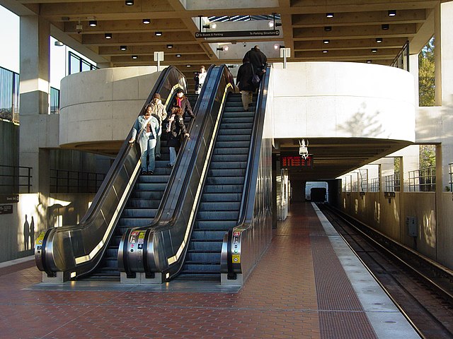
The Suitland Metro station in October 2006
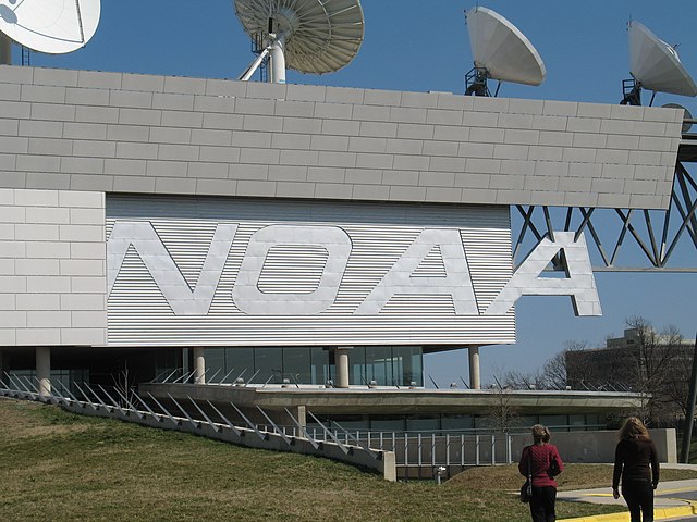
National Oceanic and Atmospheric Administration satellite control facility at Suitland