Sundarbans
Videos
Sundarbans is a mangrove area in the delta formed by the confluence of the Ganges, Brahmaputra and Meghna Rivers in the Bay of Bengal. Spread across parts of India and Bangladesh, this forest is the largest mangrove forest in the world. It spans the area from the Baleswar River in Bangladesh's division of Khulna to the Hooghly River in India's state of West Bengal. It comprises closed and open mangrove forests, land used for agricultural purpose, mudflats and barren land, and is intersected by multiple tidal streams and channels. Sundarbans is home to the world's largest area of mangrove forests. Four protected areas in the Sundarbans are enlisted as UNESCO World Heritage Sites, viz. Sundarbans West (Bangladesh), Sundarbans South (Bangladesh), Sundarbans East (Bangladesh) and Sundarbans National Park (India).


Inside the sundarbans

Village in a clearing of the Sundarbans. Drawing by Frederic Peter Layard after an original sketch of 1839

Farm among paddy fields in the Sundarbans, 2010

SPOT satellite image of Sundarbans, released by CNES
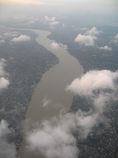
Hooghly River
Videos
The Hooghly River or popularly called Ganga or Kati-Ganga in the Puranas, is a river that rises close to Giria, which lies north of Baharampur and Palashi in Murshidabad. It is the western distributary of the Ganges. The main course of the Ganges then flows into Bangladesh as the Padma. A man-made canal, built in the 1960s and early-1970s at Farakka, connects the Ganges, flowing through Malda, to the Hooghly to bring the abundant waters of the Himalayan river to the comparatively narrow river that rises in eastern West Bengal.

Bhagirathi River, Murshidabad

Hooghly River, Serampore

Sunset at River Hooghly, Kolkata, West Bengal, India