The Syvash or Sivash, also known as the Putrid Sea or Rotten Sea (Russian: Гнило́е Мо́ре, Gniloye More; Ukrainian: Гниле́ Мо́ре, Hnyle More; Crimean Tatar: Çürük Deñiz, is a large area of shallow lagoons on the west coast of the Sea of Azov. Separated from the sea by the narrow Arabat Spit, the water of the Syvash covers an area of around 2,560 km2 and the entire area spreads over about 10,000 km2. The Henichesk Strait is its eastern connection to the Sea of Azov. The Syvash borders the northeastern coast of the main Crimean Peninsula. Central and Eastern Syvash were registered as wetlands of Ukraine under the Ramsar Convention. Since the 2022 Russian invasion of Ukraine, the entire Syvash has been occupied by Russia.
Natural-colour satellite image of the Syvash
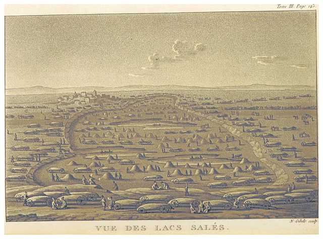
The Salinas (c. 1820)
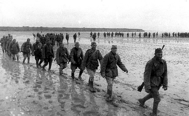
Soviet soldiers crossing the Syvash in late 1943
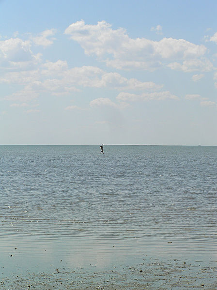
Illustration of the shallowness of water in the Syvash
The Sea of Azov is an inland shelf sea in Eastern Europe connected to the Black Sea by the narrow Strait of Kerch, and is sometimes regarded as a northern extension of the Black Sea. The sea is bounded by Russia on the east, and by Ukraine on the northwest and southwest, currently under Russian occupation. It is an important access route for Central Asia, from the Caspian Sea via the Volga–Don Canal.
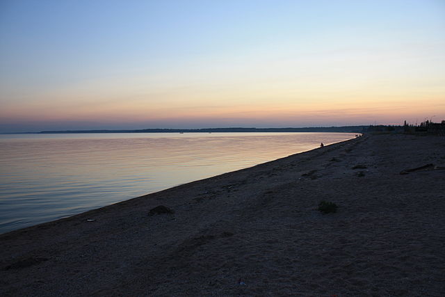
Sea of Azov shoreline at Yalta, Donetsk Oblast
Gravure showing the first attack on Taganrog.
Satellite image of Sea of Azov. The shallow Sea of Azov is clearly distinguished from the deeper Black Sea. Numbers: 1. Dnieper River, 2. Kakhovka Reservoir, 3. Molochna River, 4. Molochnyi Lyman, 5. Arabat Spit, 6. Syvash lagoon system, 7. Karkinit Bay, 8. Kalamitsky Bay, 9. Crimea, 10. Fedosiysky Bay, 11. Strait of Kerch, 12. Black Sea, 13. Sea of Azov, 14. Don River (Russia), 15. Taganrog Bay, 16. Yeysk Liman, 17. Beisug Liman
Major spits of the Sea of Azov: 1. Arabat 2. Fedotov 3. Obitochna 4. Berdyansk 5. Belosaraysk 6. Krivaya 7. Beglitsk 8. Glafirovsk (east) and Yeysk (west) 9. Dolgaya 10. Kamyshevatsk 11. Yasensk 12. Achuevsk 13. Chushka


