Tajima Province was a province of Japan in the area of northern Hyōgo Prefecture. Tajima bordered on Tango and Tanba to the east, Harima to the south, and Inaba to the west. Its abbreviated form name was Tanshū (但州). In terms of the Gokishichidō system, Tajimao was one of the provinces of the San'indō circuit. Under the Engishiki classification system, Tajima was ranked as one of the "superior countries" (上国) in terms of importance, and one of the "near countries" (近国) in terms of distance from the capital. The provincial capital was located in what is now the city of Toyooka. The ichinomiya of the province is the Izushi Shrine also located in Toyooka. The area of the province was 2099.01 square kilometers.
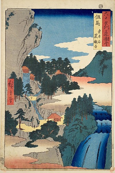
Hiroshige ukiyo-e "Tajima" in "The Famous Scenes of the Sixty States" (六十余州名所図会), depicting The Iwaya Kannon chapel in Iwaidani Gorge
Awaga Jinja, ichinomiya of the province
Izushi Jinja, ichinomiya of the province
Ruins of Tajima Kokubun-ji
Hyōgo Prefecture is a prefecture of Japan located in the Kansai region of Honshu. Hyōgo Prefecture has a population of 5,469,762 and a geographic area of 8,400 square kilometres. Hyōgo Prefecture borders Kyoto Prefecture to the east, Osaka Prefecture to the southeast, and Okayama and Tottori prefectures to the west.
Rokkō Island and Higashinada District, Kobe City, Hyōgo Prefecture at night, view from Maya Peak
Himeji Castle in Himeji, a UNESCO World Heritage Site
Kobe
Sumoto