Tanga City Council, Tanga
Tanga City Council is one of eleven administrative districts of Tanga Region in Tanzania. The District covers an area of 596.5 km2 (230.3 sq mi) of which includes the historic city of Tanga and the Port of Tanga. Tanga district is bordered to the north by Mkinga District, to the east by the Indian Ocean, to the south and west by Muheza District. The district is comparable in size to the land area of Guam. The administrative seat is the ward Central. The district is the administrative and economic center of Tanga Region. In Swahili, the word Tanga means "sail". The City was also the theater for the battle of Tanga. According to the 2022 census, the district has a total population of 393,429.
Image: Makorora ward, Tanga CC
Image: Swahili door at Tanga Urithi Museum in 2023, Tanga CC
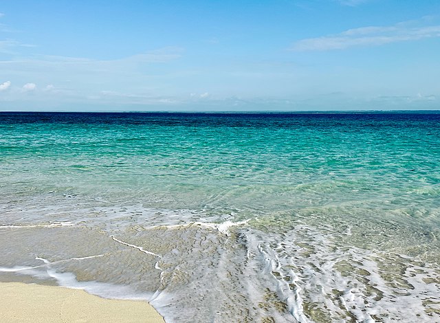
Image: Beach at Mzingani ward, Tanga CC
Old Swahili mosque at Tongoni Ruins in Tongoni ward, Tanga City Council.
Tanga Region is one of Tanzania's 31 administrative regions. The region covers an area of 26,667 km2 (10,296 sq mi). The region is comparable in size to the combined land area of the nation state of Burundi. The regional capital is the municipality of Tanga city. Located in northeast Tanzania, the region is bordered by Kenya and Kilimanjaro Region to the north; Manyara Region to the west; and Morogoro and Pwani Regions to the south. It has a coastline to the east with the Indian Ocean. According to the 2022 national census, the region had a population of 2,615,597.
Image: Colonial building 2, Central Ward, Tanga
Image: Funguni Island, Pangani, Tanga
Image: Tongoni Ruins Masjid


