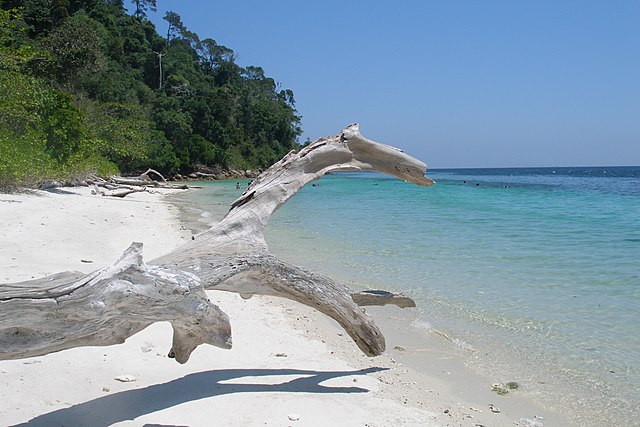
Tarutao National Park consists of 51 islands in the Strait of Malacca, off the coast of Satun Province of southern Thailand. The Tarutao National Park consists of two island groups: Tarutao and Adang-Rawi, which are scattered from 20 to 70 kilometres' distance from the south-westernmost point of mainland Thailand. The park covers an area of 931,250 rai ~ 1,490 square kilometres (580 sq mi) of which 1,260 square kilometres (490 sq mi) ocean and 230 square kilometres (89 sq mi) island. The southernmost end of the park lies on the border with Malaysia, just north of Langkawi. Tarutao became Thailand's second marine national park on 19 April 1974. The coastal Khao Sam Roi Yot National Park had been designated in 1966.
Ko Tarutao
Koh Rawi
Koh Adang
Turquoise waters between Koh Lipe and Koh Adang
Satun (Thai: สตูล, pronounced [sà.tūːn] is one of the southern provinces of Thailand. Neighboring provinces are Trang, Phatthalung, and Songkhla. To the south it borders Perlis of Malaysia.
Ko Lipe beach
Panoramic view of the Mu Ko Phetra National Park
The seashore with a lighthouse and the Moon in the distance, Phante Malaka Bay, Tarutao National Park
Tarutao National Park