Lake Taupō, in the centre of New Zealand's North Island, fills the caldera of the Taupō Volcano, a large rhyolitic supervolcano. This huge volcano has produced two of the world's most powerful eruptions in geologically recent times.
Recent vents and caldera structures Taupō Volcano. Present active geothermal systems are in light blue. A key to the vents is in the diagram
Oruanui eruption impact North Island in terms of approximate 10cm ash deposit (white shading) and approximate ignimbrite from pyroclastic flow (yellow shading). The central red area is the Oruanui caldera with surrounding collapse crater in lighter red. It is superimposed on present day New Zealand although at the time New Zealand land mass was larger, as sea level was much lower.
Hatepe eruption impact of a 10-cm ash deposit (white shading) and ignimbrite from pyroclastic flow (yellow shading). The collapse caldera is in light red. It is superimposed on the present day North Island.
Taupō Volcano is mainly under the large blue Lake Taupō seen from its north from low earth orbit with beyond to its south the smaller Lake Rotoaira, and the active stratovolcanoes of Tongariro and Ruapehu covered in this picture with snow.
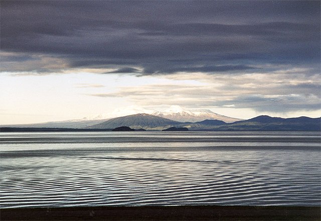
Lake Taupō is a large crater lake in New Zealand's North Island, located in the caldera of Taupō Volcano. The lake is the namesake of the town of Taupō, which sits on a bay in the lake's northeastern shore. With a surface area of 616 km2 (238 sq mi), it is the largest lake by surface area in New Zealand, and the second largest freshwater lake by surface area in geopolitical Oceania after Lake Murray in Papua New Guinea. Motutaiko Island lies in the southeastern area of the lake.
Lake Taupō
NASA satellite photo of Lake Taupō
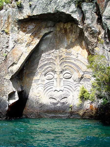
Māori rock carvings at Mine Bay are over 10 metres high and accessible only by boat or kayak.