Tegg's Nose is a hill east of Macclesfield in Cheshire, England. It has a short ridge with a high point of 380 metres (1,250 ft) at SJ947725, terminating in a promontory at the southern end. It lies on the western edge of the Peak District, although outside the boundary of the national park. Much of the hill's area falls within the Tegg's Nose Country Park, managed by Cheshire East Council Countryside Management Service; Tegg's Nose is also part of the Environmentally Sensitive Area Scheme.
Tegg's Nose from Ridgegate Reservoir
Historical quarry equipment
Stone saw at the quarry
Tegg's Nose from Walker Barn
Macclesfield is a market town and civil parish in the unitary authority of Cheshire East, Cheshire, England, on the River Bollin and the edge of the Cheshire Plain, with Macclesfield Forest to its east, 16 miles (26 km) south of Manchester and 38 miles (61 km) east of Chester.
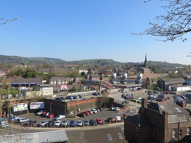
Skyline of Macclesfield with the railway station in the foreground, the spire of St Paul's Church in the background and townscape.
Macclesfield Town Hall
Macclesfield as viewed from the railway station
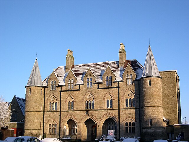
Armoury Towers