Ten Hills, Somerville, Massachusetts
Ten Hills is a neighborhood in the northeastern part of the city of Somerville, Massachusetts. The area is roughly wedge-shaped, about 50 acres (200,000 m2) in size, and is bounded by the Mystic River to the north, McGrath Highway to the east, and is largely separated from the rest of Somerville by Interstate 93 to the southwest. Ten Hills is next to Assembly Square in the east, and Winter Hill in the southwest. The neighborhood landscape is predominated by a single hill, the peak of which is roughly at the intersection of Temple and Putnam Roads. The Ten Hills neighborhood is located in Ward 4, Precinct 1 of the City of Somerville, which is in the 34th district of Middlesex County.
Historic marker at the intersection of Gov. Winthrop Road and Shore Drive, marking the site of John Winthrop's home in Ten Hills
Historic plaque at Grimmons Park on Gov. Winthrop Road in Somerville, Massachusetts
Somerville, Massachusetts
Somerville is a city located directly to the northwest of Boston, and north of Cambridge, in Middlesex County, Massachusetts, United States. As of the 2020 United States Census, the city had a total population of 81,045 people. With an area of 4.12 square miles (10.7 km2), the city has a density of 19,671/sq mi (7,595/km2), making it the most densely populated municipality in New England and the 19th most densely populated incorporated municipality in the country. Somerville was established as a town in 1842, when it was separated from Charlestown. In 2006, the city was named the best-run city in Massachusetts by The Boston Globe. In 1972, 2009, and 2015, the city received the All-America City Award. It is home to Tufts University, which has its campus along the Somerville and Medford border.
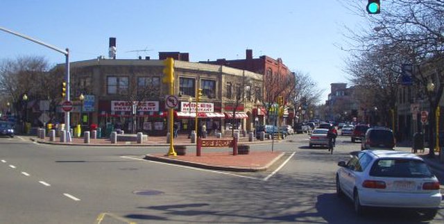
Davis Square, Somerville
The Old Powder House in Nathan Tufts Park
Ross Moffett's A Skirmish Between British and Colonists near Somerville in Revolutionary Times, 1937
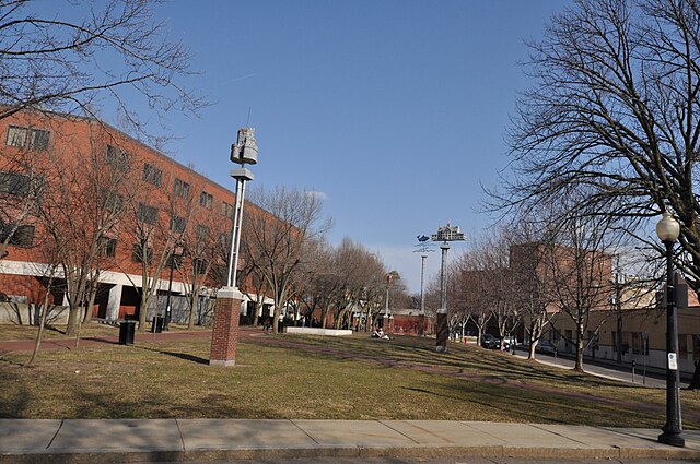
Seven Hills Park at Davis Square. The towers in the park each represent one of the city's original hills.


