Terra Australis was a hypothetical continent first posited in antiquity and which appeared on maps between the 15th and 18th centuries. Its existence was not based on any survey or direct observation, but rather on the idea that continental land in the Northern Hemisphere should be balanced by land in the Southern Hemisphere. This theory of balancing land has been documented as early as the 5th century on maps by Macrobius, who uses the term Australis on his maps.
Western hemisphere of the Johannes Schöner globe from 1520.
Guillaume Le Testu's 1556 Cosmographie Universel, 4me projection, where the northward extending promontory of the Terre australle is called Grande Jaue.
A continent is any of several large geographical regions. Continents are generally identified by convention rather than any strict criteria. A continent could be a single landmass or a part of a very large landmass, as in the case of Asia or Europe. Due to this, the number of continents varies; up to seven or as few as four geographical regions are commonly regarded as continents. Most English-speaking countries recognize seven regions as continents. In order from largest to smallest in area, these seven regions are Asia, Africa, North America, South America, Antarctica, Europe, and Australia. Different variations with fewer continents merge some of these regions; examples of this are merging North America and South America into America, Asia and Europe into Eurasia, and Africa, Asia, and Europe into Afro-Eurasia.
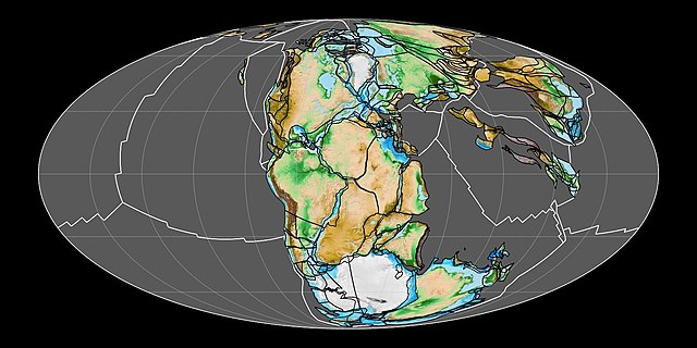
Reconstruction of the supercontinent Pangaea approximately 200 million years ago
The Indian subcontinent
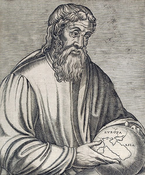
The Ancient Greek geographer Strabo holding a globe showing Europa and Asia
Rigveda page in Sanskrit


