Territorial evolution of Mexico
Mexico has experienced many changes in territorial organization during its history as an independent state. The territorial boundaries of Mexico were affected by presidential and imperial decrees. One such decree was the Law of Bases for the Convocation of the Constituent Congress to the Constitutive Act of the Mexican Federation, which determined the national land area as the result of integration of the jurisdictions that corresponded to New Spain, the Captaincy General of Yucatán, the Captaincy General of Guatemala and the autonomous Kingdoms of East and West. The decree resulted in the independence from Spain.
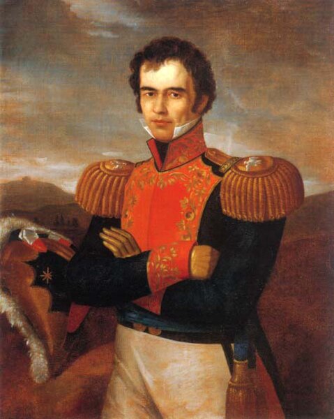
Agustín de Iturbide, first Emperor of Mexico.
Guadalupe Victoria, First President of México.
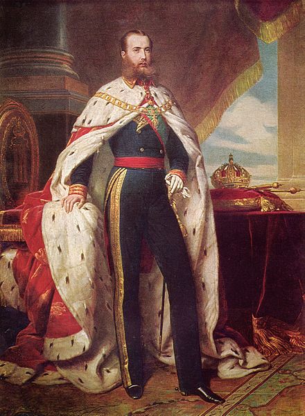
Maximilian I, Last Emperor of Mexico.
Mexico, officially the United Mexican States, is a country in the southern portion of North America. It covers 1,972,550 km2, making it the world's 13th-largest country by area; with a population of almost 130 million, it is the 10th-most-populous country and the most populous Spanish-speaking country. Mexico is organized as a federal constitutional republic comprising 31 states and Mexico City, its capital. It shares land borders with the United States to the north, with Guatemala and Belize to the southeast; as well as maritime borders with the Pacific Ocean to the west, the Caribbean Sea to the southeast, and the Gulf of Mexico to the east.
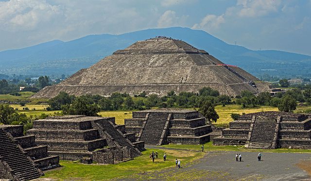
Teotihuacan, the 6th largest city in the world at its peak (1 AD to 500 AD)
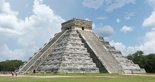
Temple of Kukulcán (El Castillo) in the Maya city of Chichen Itza
Artistic depiction of Mexico-Tenochtitlan, the Aztec capital and largest city in the Americas at the time. The city was completely destroyed in the 1521 siege of Tenochtitlan and rebuilt as Mexico City.
Storming of the Teocalli by Cortez and his Troops (painted in 1848)