Thakurgaon is a district in northwestern Bangladesh. It is part of the Rangpur Division and borders India to the west. It was established as a mahakuma in 1860 consisting of 6 thanas named Thakurgaon sadar, Baliadangi, Pirganj, Ranishankail, Haripur and Ruhia. In 1947, it was re-established as a mahakuma including 3 thanas of Jalpaiguri and a thana of kochbihar of India. In 1981, Atoari was included in the new Panchagarh district and the area was shrunk in just 5 thanas. It was established as a district on 1 February 1984.
Image: Open Ground into the Balia Mosque Complex
Image: Haripur Rajbari 7
Image: জামালপুর জামে মসজিদ বাম থেকে
Image: ঢোলহাট মন্দির অনেক পুরাতন মন্দির ও পরিচর্যার অভাবে 08
Rangpur Division is one of the Divisions in Bangladesh. It was formed on 25 January 2010, as Bangladesh's 7th division. Before that, it was under Rajshahi Division. The Rangpur division consists of eight districts. There are 58 Upazilas or subdistricts under these eight districts. Rangpur is the northernmost division of Bangladesh and has a population of 17,610,956 in the 2022 Census.
Image: Tajhat Rajbari
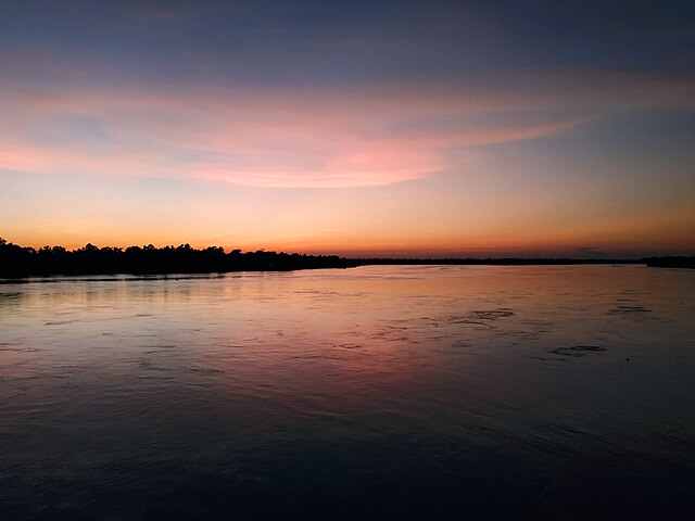
Image: Sun set at Dharla river
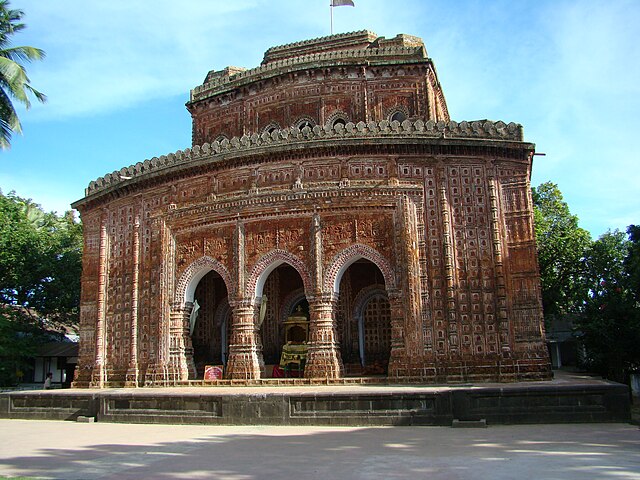
Image: Kantaji Temple Dinajpur Bangladesh (12)
Image: Rangpur town hall 01


