The Thanh Hóa Bridge, spanning the Song Ma river, is situated 3 miles (4.8 km) northeast of Thanh Hóa, the capital of Thanh Hóa Province in Vietnam. The Vietnamese gave it the nickname Hàm Rồng. In 1965 during the Vietnam War, it was the objective of many attacks by US Air Force and US Navy aircraft which would fail to destroy the bridge until 1972, even after hundreds of attacks. The bridge was restored in 1973. As of 2016, the bridge still stands.
F-105Ds en route to North Vietnam.
A North Vietnamese MiG-17 in 1972.
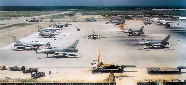
416th TFS F-100Ds at Da Nang, 1965
The Thanh Hóa bridge in 1972.
Thanh Hóa is the capital of Thanh Hóa Province. The city is situated in the east of the province on the Ma River, about 150 kilometers south of capital Hanoi and 1560 kilometers north of Ho Chi Minh City. Thanh Hoa became one of the most populous cities in North Central Coast after expanding in 2012, with a population of approximately 400,000. Thanh Hoa township was upgraded to Thanh Hoa City in 1994 and has been the historical center of politics, economy, culture, education and entertainment of Thanh Hóa Province.
Image: Ham Rong Bridge Thanh Hoacity
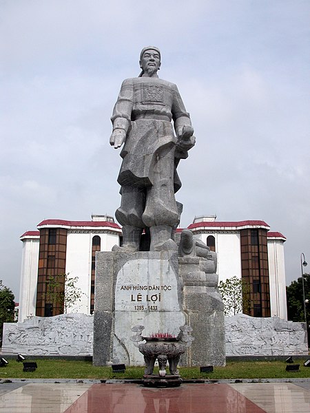
Image: Le Loi statue
Image: Thanh Hoa City By Night
Image: Le Loi avenue