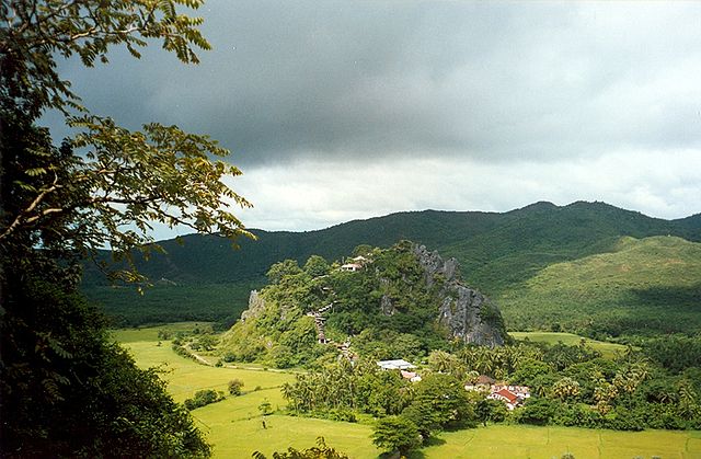
Thaton is a town in Mon State, in southern Myanmar on the Tenasserim plains. Thaton lies along the National Highway 8 and is also connected by the National Road 85. It is 230 kilometres (140 mi) southeast of Yangon and 70 kilometres (43 mi) north of Mawlamyine. Thaton was the capital of Thaton Kingdom from at least the 4th century BC to the middle of the 11th century AD.
Thaton
Mon State is an administrative division of Myanmar. It lies between Kayin State to the east, the Andaman Sea to the west, Bago Region to the north and Tanintharyi Region to the south, also having a short border with Thailand's Kanchanaburi Province at its south-eastern tip. The land area is 12,155 km2 (4,693 sq mi). The Dawna Range, running along the eastern side of the state in a NNW–SSE direction, forms a natural border with Kayin State. Mon State includes some small islands, such as Kalegauk, Wa Kyun and Kyungyi Island, along its 566 km (352 mi) of coastline. The state's capital is Mawlamyine.
Limestone landscape near Mudon, south of Mawlamyaing.
Bridge near Kyaik Maraw, Mon State
Mon State Government Office
Mawlamyine University, Mon State