The Broads
Videos
The Broads is a network of mostly navigable rivers and lakes in the English counties of Norfolk and Suffolk. Although the terms "Norfolk Broads" and "Suffolk Broads" are correctly used to identify spe

Ormesby Little Broad, part of the Norfolk Broads near Great Yarmouth

Drainage windmills on the Norfolk Broads

Mutton's Mill, one of the many historic drainage windpumps on the Norfolk Broads
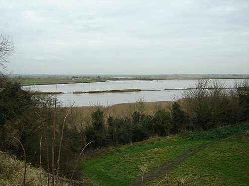
The point at which the River Yare and the River Waveney merge into Breydon Water
Norfolk
Videos
Norfolk is a ceremonial county in England, located in the East of England and East Anglia. It borders Lincolnshire and The Wash to the north-west, the North Sea to the north and east, Cambridgeshire t
The Broads
…The Broads (known for marketing purposes as The Broads National Park) is a network of mostly navigable rivers and lakes in the English counties of Norfolk and Suffolk. Although the terms "Norfolk Broads" and "Suffolk Broads" are correctly used to identify specific areas within the two counties respectively…

Cley windmill, from Beach Road, Cley next the Sea geograph.org.uk 3005259

Kings Lynn Guild Hall

Norwich Cathedral The Tower and Spire

Norwich railway station