A tide gauge is a device for measuring the change in sea level relative to a vertical datum.
It is also known as a mareograph, marigraph, and sea-level recorder
When applied to freshwater continental water bodies, the instrument may also be called a limnimeter.
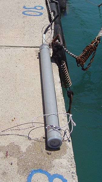
A tide gauge
The tide gauge in Kronstadt, Russia
Interior view of Cascais Tide Gauge showing data recording equipment
Mean sea level is an average surface level of one or more among Earth's coastal bodies of water from which heights such as elevation may be measured. The global MSL is a type of vertical datum – a standardised geodetic datum – that is used, for example, as a chart datum in cartography and marine navigation, or, in aviation, as the standard sea level at which atmospheric pressure is measured to calibrate altitude and, consequently, aircraft flight levels. A common and relatively straightforward mean sea-level standard is instead a long-term average of tide gauge readings at a particular reference location.
This marker indicating sea level is situated between Jerusalem and the Dead Sea.
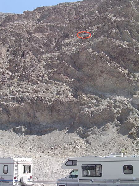
Sea level sign seen on cliff (circled in red) at Badwater Basin, Death Valley National Park
The Last Glacial Period caused a much lower global sea level.
Warming temperatures and melting glaciers are currently raising the sea level.