Tideswell is a village, civil parish, and ward in the Peak District of Derbyshire, England. It lies 6 miles (9.7 km) east of Buxton on the B6049, in a wide valley on a limestone plateau, at an altitude of 1,000 feet (300 m) above sea level, and is within the District of Derbyshire Dales. The population was 1,820 in 2001, increasing slightly to 1,827 at the 2011 Census, making it the second-largest settlement within the National Park, after Bakewell. Tideswell Dale is a short limestone valley leading south from the village to the River Wye valley.
George Hotel and parish church
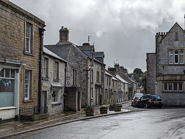
Street in Tideswell, Derbyshire
Tideswell well dressing is usually at the end of June
Outside the church of St John the Baptist, Tideswell
The Peak District is an upland area in England, at the southern end of the Pennines. Mostly in Derbyshire, it extends into Cheshire, Greater Manchester, Staffordshire, West Yorkshire and South Yorkshire. It is subdivided into the Dark Peak, moorland dominated by gritstone, and the White Peak, a limestone area with valleys and gorges. The Dark Peak forms an arc on the north, east and west of the district, and the White Peak covers central and southern areas. The highest point is Kinder Scout. Most of the area is within the Peak District National Park, a protected landscape designated in 1951.
A view of Mam Tor
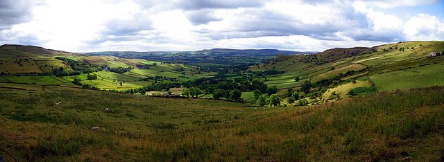
A High Peak panorama between Hayfield and Chinley
The Bugsworth Basin on the Peak Forest Canal
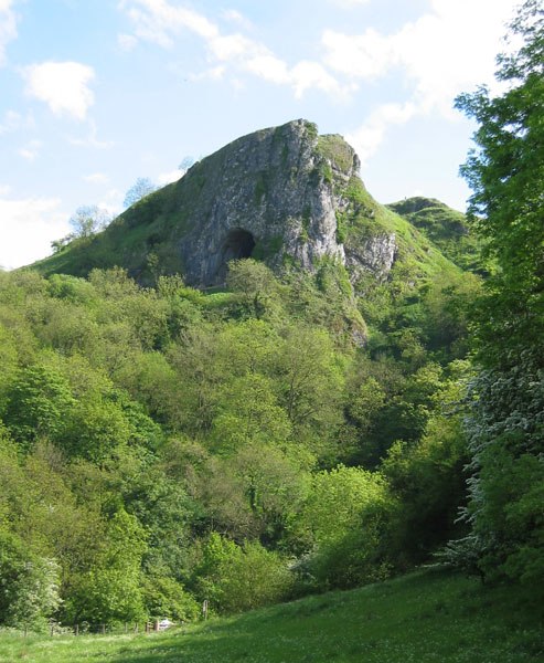
Thor's Cave seen from the Manifold Way