Tiritiri Matangi Island is located in the Hauraki Gulf of New Zealand, 3.4 km (2.1 mi) east of the Whangaparāoa Peninsula in the North Island and 30 km (19 mi) north east of Auckland. The 2.2 km2 (1 sq mi) island is an open nature reserve managed by the Supporters of Tiritiri Matangi Incorporated, under the supervision of the Department of Conservation and is noted for its bird life, including takahē, North Island kōkako and kiwi. It attracts between 30,000 and 32,000 visitors a year, the latter figure being the maximum allowed by the Auckland Conservation Management Strategy.
Tiritiri Matangi Lighthouse and ranger station.
Forest on Tiritiri Matangi
Tiritiri Matangi wharf and ferry; day-trip passengers have just disembarked
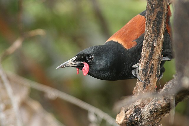
The rare tieke or North Island saddleback thrives on Tiritiri Matangi
The Hauraki Gulf / Tīkapa Moana is a coastal feature of the North Island of New Zealand. It has an area of 4000 km2, and lies between, in anticlockwise order, the Auckland Region, the Hauraki Plains, the Coromandel Peninsula, and Great Barrier Island. Most of the gulf is part of the Hauraki Gulf Marine Park.
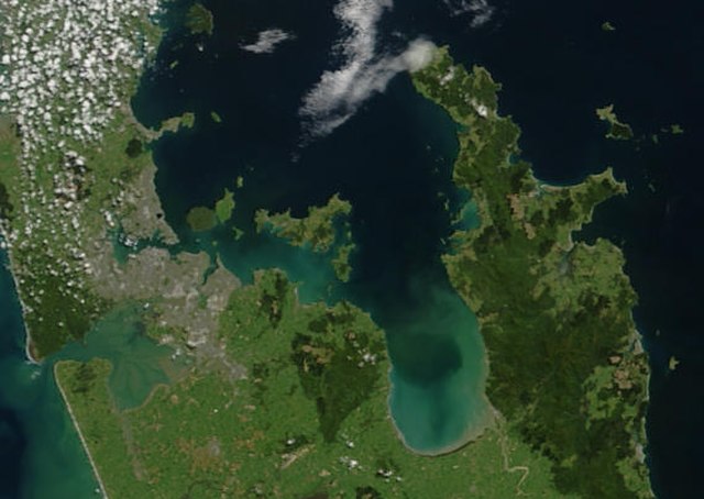
True-colour image showing the Hauraki Gulf / Tīkapa Moana, with Auckland (left) and the Coromandel Peninsula (right), by NASA's Terra satellite, 2002.
Sunset view of The Noises viewed from Waiheke Island
Farmland and native bush on Ponui Island
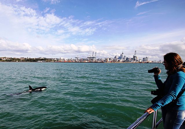
An orca swims in Waitematā Harbour, with Auckland CBD in the background.