The Tobacco Root Mountains lie in the northern Rocky Mountains, between the Jefferson and Madison Rivers in southwest Montana. The highest peak is Hollowtop at 10,604 feet (3,232 m). The range contains 43 peaks rising to elevations greater than 10,000 feet (3048 m).
Panoramic view of Tobacco Roots
Curly Lake in the Tobacco Root Mountains
Tobacco Root Mountains SW Face from Twin Bridges, Montana
The Jefferson River is a tributary of the Missouri River, approximately 83 miles (134 km) long, in the U.S. state of Montana. The Jefferson River and the Madison River form the official beginning of the Missouri at Missouri Headwaters State Park near Three Forks. It is joined 0.6 miles (1.0 km) downstream (northeast) by the Gallatin.
Confluence of Beaverhead and Big Hole Rivers forming the Jefferson near Twin Bridges, Montana
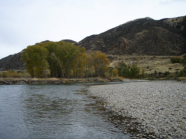
Jefferson River near Parrot Castle, October 2007
Small marine fossils can be found in the Madison Group limestone that makes up the steep, narrow section of the Jefferson River canyon.
Lewis and Clark ascended the Jefferson River in 1805 in their search for a navigable water route to the Pacific.