Tomales Bay is a long, narrow inlet of the Pacific Ocean in Marin County in northern California in the United States. It is approximately 15 mi (24 km) long and averages nearly 1.0 mi (1.6 km) wide, effectively separating the Point Reyes Peninsula from the mainland of Marin County. It is located approximately 30 mi (48 km) northwest of San Francisco. The bay forms the eastern boundary of Point Reyes National Seashore. Tomales Bay is recognized for protection by the California Bays and Estuaries Policy. On its northern end, it opens out onto Bodega Bay, which shelters it from the direct current of the Pacific. The bay is formed along a submerged portion of the San Andreas Fault.
Tomales Bay as viewed from Tomales Point Trail
Tomales Bay oysters
View of Tomales Bay towards the north
Entrance to Tomales Bay as viewed from Tomales Point, looking south
Point Reyes is a prominent cape and popular Northern California tourist destination on the Pacific coast. Located in Marin County, it is approximately 30 miles (50 km) west-northwest of San Francisco. The term is often applied to the Point Reyes Peninsula, the region bounded by Tomales Bay on the northeast and Bolinas Lagoon on the southeast. The majority of the peninsula as well as the headlands are protected as part of Point Reyes National Seashore.
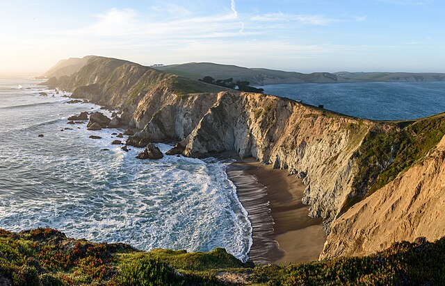
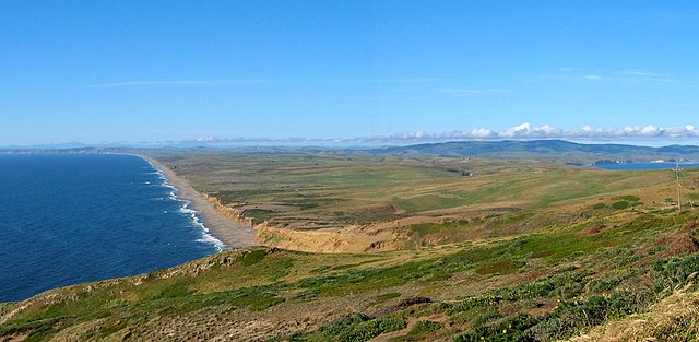
Much of the peninsula's coastline is made up of rocky cliffs, though there are also expansive sandy beaches.
Point Reyes Aerial View
South Beach and Point Reyes Peninsula
Sebastián Vizcaíno named the cape Punto de los Reyes (Spanish for "Point of the Kings"), which has transformed into the modern Spanish–English name mixture of Point Reyes.


