The Topography of Terror is an outdoor and indoor history museum in Berlin, Germany. It is located on Niederkirchnerstrasse, formerly Prinz-Albrecht-Strasse, on the site of buildings, which during the Nazi regime from 1933 to 1945 was the SS Reich Security Main Office, the headquarters of the Sicherheitspolizei, SD, Einsatzgruppen and Gestapo.
The new building of the Topography of Terror Foundation, 2010
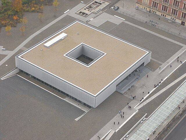
Aerial view of the building
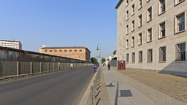
Part of the Topography of Terror museum. The preserved section of the Berlin Wall can be seen at the top of the picture, 2006
Exhibition hall in the NS documentation centre Topography of Terror, 2010
Niederkirchnerstraße is a street in Berlin, Germany and was named after Käthe Niederkirchner. The thoroughfare was known as Prinz-Albrecht-Straße until 1951 but the name was changed by the East German government. The street was the location of the SS Reich Security Main Office (RSHA), the headquarters of the Sicherheitspolizei, SD, Einsatzgruppen and Gestapo. The site is now marked by the Topography of Terror memorial and a museum, which includes a permanent exhibition showing the crimes of Nazism.
Martin-Gropius-Bau
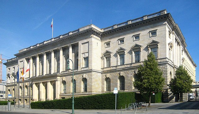
Abgeordnetenhaus
The Europe-Buddy-Bear in front of the Federal Ministry of Finance in the Niederkirchnerstrasse
Image: Berlin Mitte Niederkirchner 05 2014


