Tornado myths are incorrect beliefs about tornadoes, which can be attributed to many factors, including stories and news reports told by people unfamiliar with tornadoes, sensationalism by news media, and the presentation of incorrect information in popular entertainment. Common myths cover various aspects of the tornado, and include ideas about tornado safety, the minimization of tornado damage, and false assumptions about the size, shape, power, and path of the tornado itself.
Windows and outer walls of the Bank One Building in downtown Fort Worth, Texas, were damaged by the 2000 Fort Worth tornado. It is a commonly held belief that tornadoes cannot strike downtown areas, but Fort Worth is just one of many cities whose central business districts have been struck by significant tornadoes.
The central room on the lowest floor of a house is by far the safest area during a tornado. In multilevel apartment buildings, this will mean the ground floor units. Often the upper levels are built with lighter, weaker materials. This house near Jasper, Texas, was destroyed by an F2 tornado, with only a few interior walls still standing.
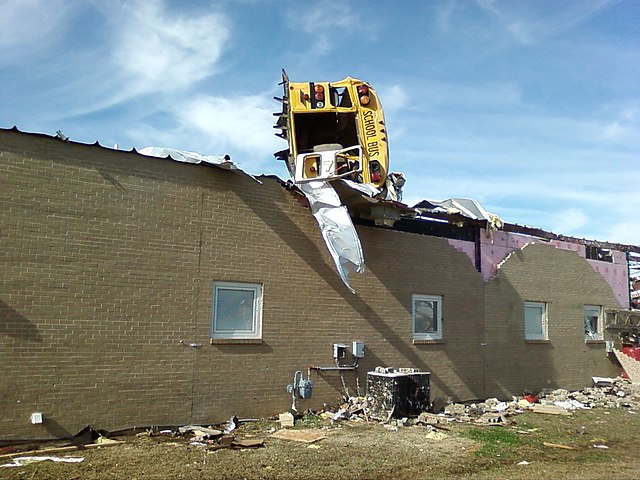
A 2008 tornado lifted this school bus and flipped it on top of a damaged elementary school in Caledonia, Mississippi.
The Elie, Manitoba tornado of June 22, 2007, appeared small and narrow throughout its lifespan, yet was the first tornado in Canadian history to cause F5 damage.
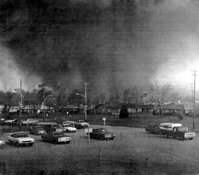
The 1974 Super Outbreak was the second-largest tornado outbreak on record for a single 24-hour period, just behind the 2011 Super Outbreak. It was also the most violent tornado outbreak ever recorded, with 30 F4/F5 tornadoes confirmed. From April 3–4, 1974, there were 148 tornadoes confirmed in 13 U.S. states and the Canadian province of Ontario. In the United States, tornadoes struck Illinois, Indiana, Michigan, Ohio, Kentucky, Tennessee, Alabama, Mississippi, Georgia, North Carolina, Virginia, West Virginia, and New York. The outbreak caused roughly $843 million USD in damage, with more than $600 million occurring in the United States. The outbreak extensively damaged approximately 900 sq mi (2,331 km2) along a total combined path length of 2,600 mi (4,184 km). At one point, as many as 15 separate tornadoes were occurring simultaneously.
The tornado near Depauw, Indiana.
The Xenia tornado tearing through the southeast Pinecrest Garden district.
A view of the destroyed Presbyterian Church in Monticello.
The tornado approaching the city of Madison.


