The Toronto waterfront is the lakeshore of Lake Ontario in the city of Toronto, Ontario, Canada. It spans 46 kilometres between the mouth of Etobicoke Creek in the west and the Rouge River in the east.
View of Toronto's waterfront and Downtown Toronto from the Toronto Islands.
Elevated portions of Toronto's waterfront, like the Scarborough Bluffs, made up the shorelines of Lake Iroquois, a glacial lake that preceded Lake Ontario.
Cannon emplacement at Fort York, located close to where Toronto's original shoreline was. Due to land reclamation projects in the late-19th to early-20th century, the original shoreline is now located inland.
Construction of the Gardiner Expressway in the 1963. The highway substantially changed the western portion of the waterfront.
Toronto is the most populous city in Canada and the capital city of the Canadian province of Ontario. With a population of 2,794,356 in 2021, it is the fourth-most populous city in North America. The city is the anchor of the Golden Horseshoe, an urban agglomeration of 9,765,188 people surrounding the western end of Lake Ontario, while the Greater Toronto Area proper had a 2021 population of 6,712,341. Toronto is an international centre of business, finance, arts, sports and culture and is one of the most multicultural and cosmopolitan cities in the world.
Image: CC 2022 06 18 193 Pano (cropped) 01
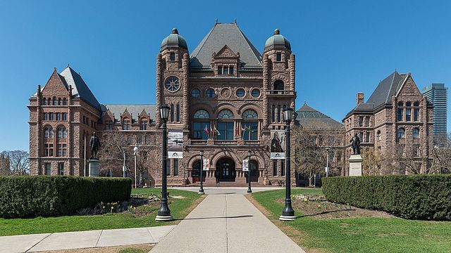
Image: Ontario Legislative Building, Toronto, South view 20170417 1
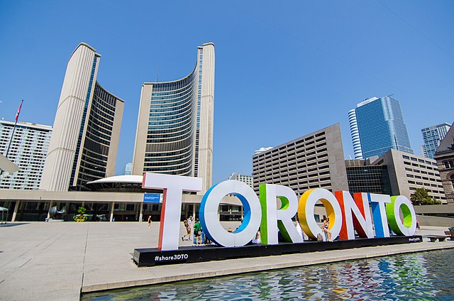
Image: Nathan Phillips Square (33343114810)
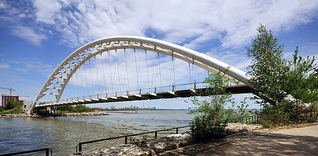
Image: Toronto ON Humber Bay und Humber Bay Arch Bridge


