Tottenville, Staten Island
Tottenville is a neighborhood on the South Shore of Staten Island, New York City. It is the southernmost neighborhood and settlement in both New York City and New York State, as well as the westernmost neighborhood in New York City. Tottenville is bounded on three sides by water: the south side abuts the New York Bight while the west and north sides are bordered by the Arthur Kill. Nassau Place, Bethel Avenue and Page Avenue form the neighborhood's eastern border.
Welcome To Tottenville sign
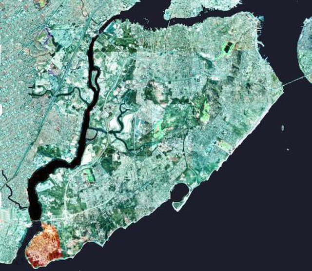
The neighborhood of Tottenville in Staten Island is shown highlighted in orange
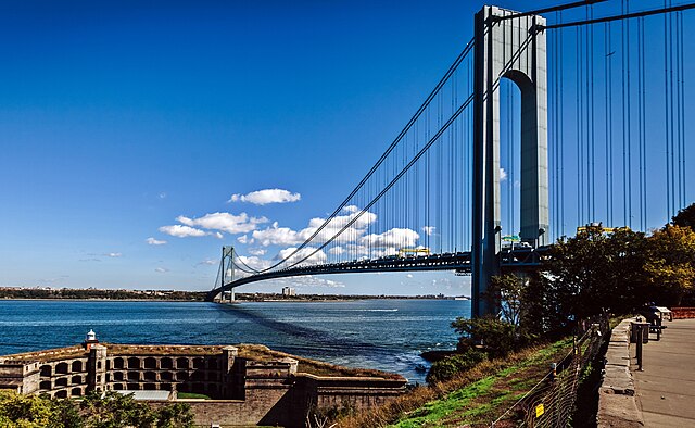
A view of Arthur Kill, the waterway between Staten Island and the New Jersey mainland; the Outerbridge Crossing is in the background
88 Bentley Street in August 2006
Staten Island is the southernmost borough of New York City, coextensive with Richmond County and situated at the southern most point of New York. The borough is separated from the adjacent state of New Jersey by the Arthur Kill and the Kill Van Kull and from the rest of New York by New York Bay. With a population of 495,747 in the 2020 Census, Staten Island is the least populated New York City borough but the third largest in land area at 58.5 sq mi (152 km2); it is also the least densely populated and most suburban borough in the city.
Image: Look out point (cropped)
Image: Staten Island Zoo Entrance
Image: Spirit of America Staten Island Ferry
Image: College of Staten Island Campus (6560390369)