Transport in China has experienced major growth and expansion in recent years. Although China's transport system comprises a vast network of transport nodes across its huge territory, the nodes tend to concentrate in the more economically developed coastal areas and inland cities along major rivers. The physical state and comprehensiveness of China's transport infrastructure tend to vary widely by geography. While remote, rural areas still largely depend on non-mechanized means of transport, urban areas boast a wide variety of modern options, including a maglev system connecting the city center of Shanghai with Shanghai Pudong International Airport. Airports, roads, and railway construction will provide a massive employment boost in China over the next decade.
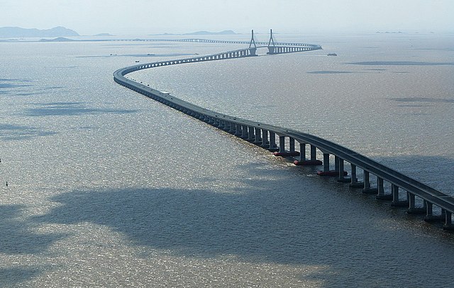
The Donghai Bridge is one of the longest bridges in the world.
Beijing Capital International Airport, one of the busiest airports in Asia.
The Transrapid Shanghai maglev train, with a top speed of 431 km/h (268 mph). It is the first and only commercial high-speed maglev line in the world.
Lhasa railway station
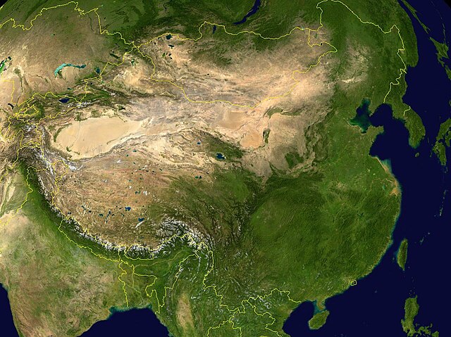
China has great physical diversity. The eastern plains and southern coasts of the country consist of fertile lowlands and foothills. They are the location of most of China's agricultural output and human population. The southern areas of the country consist of hilly and mountainous terrain. The west and north of the country are dominated by sunken basins, rolling plateaus, and towering massifs. It contains part of the highest tableland on earth, the Tibetan Plateau, and has much lower agricultural potential and population.
Satellite imagery of China
Longsheng Rice Terraces
South China Sea by Hainan.
Luoping in Yunnan.


