Transport in the Netherlands
The Netherlands is both a very densely populated and a highly developed country in which transport is a key factor of the economy. Correspondingly it has a very dense and modern infrastructure, facilitating transport with road, rail, air and water networks. In its Global Competitiveness Report for 2014-2015, the World Economic Forum ranked the Dutch transport infrastructure fourth in the world.
Traffic in the Netherlands
The north (and largest) section of the Ridderkerk interchange
Traffic jam on the A325 (Arnhem)
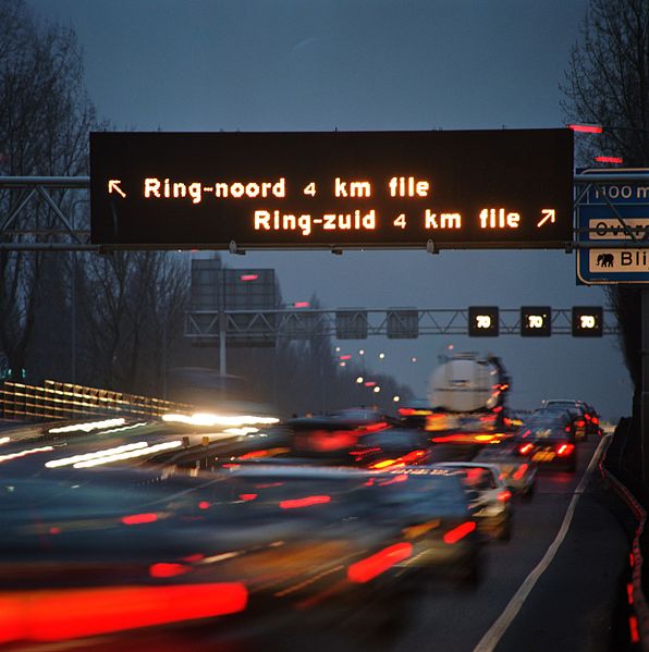
Dynamic Route Information Panel (DRIP) on the A13
The Netherlands has a public road network totaling 139,000 km, one of the densest in the world. Its use has increased since the 1950s and now exceeds 200 billion km traveled per year, three quarters of which is by car, making it among the most intensely used road networks. In 2019, the World Economic Forum ranked the quality of Dutch road infrastructure as the best in Europe and second to Singapore out of 141 countries.
The 1927 Rijkswegenplan was the first new Dutch national highway structure plan in a century.
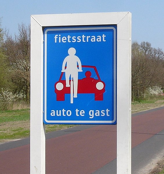
cyclestreet (fietsstraat) sign (unofficial)
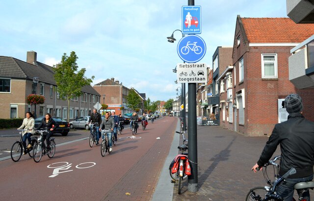
A fietsstraat (bike street) where bicycles are the main form of transport and cars are considered "guests".
Motorway A15 / A16 near Rotterdam


