Triangulation (surveying)
In surveying, triangulation is the process of determining the location of a point by measuring only angles to it from known points at either end of a fixed baseline by using trigonometry, rather than measuring distances to the point directly as in trilateration. The point can then be fixed as the third point of a triangle with one known side and two known angles.
Triangulation of Kodiak Island in Alaska in 1929.
Liu Hui (c. 263), How to measure the height of a sea island. Illustration from an edition of 1726
Surveying or land surveying is the technique, profession, art, and science of determining the terrestrial two-dimensional or three-dimensional positions of points and the distances and angles between them. These points are usually on the surface of the Earth, and they are often used to establish maps and boundaries for ownership, locations, such as the designed positions of structural components for construction or the surface location of subsurface features, or other purposes required by government or civil law, such as property sales.
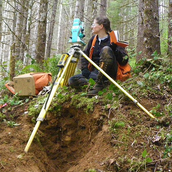
A surveyor using a total station
A student using a theodolite in field
Table of Surveying, 1728 Cyclopaedia
A railroad surveying party at Russel's Tank, Arizona in the 1860s