Tumbler Ridge
Videos
Page
Tumbler Ridge is a district municipality in the foothills of the B.C. Rockies in northeastern British Columbia, Canada, and a member municipality of the Peace River Regional District. With a population of 2,399 (2021) living in a townsite, the municipality encompasses an area of 1,558 km2 (602 sq mi) of mostly Crown land. The townsite is located near the confluence of the Murray River and Flatbed Creek and the intersection of Highway 52 and Highway 29 and includes the site of the Tumbler Ridge Secondary School and Tumbler Ridge Airport. It is part of the Peace River South provincial electoral district and the Prince George—Peace River—Northern Rockies federal riding.
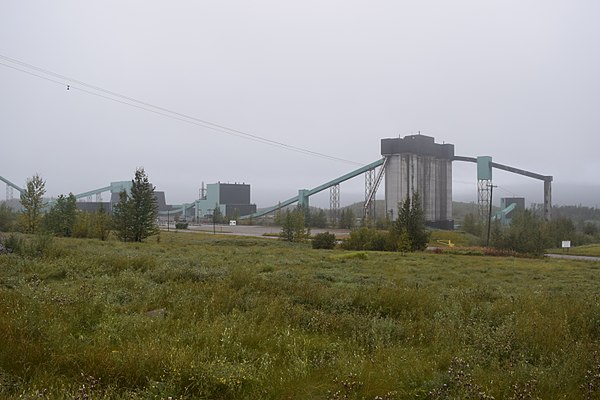
Quintette Coal Mine, Tumbler Ridge
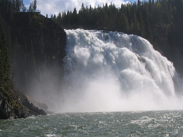
Kinuseo Falls in the Monkman Provincial Park
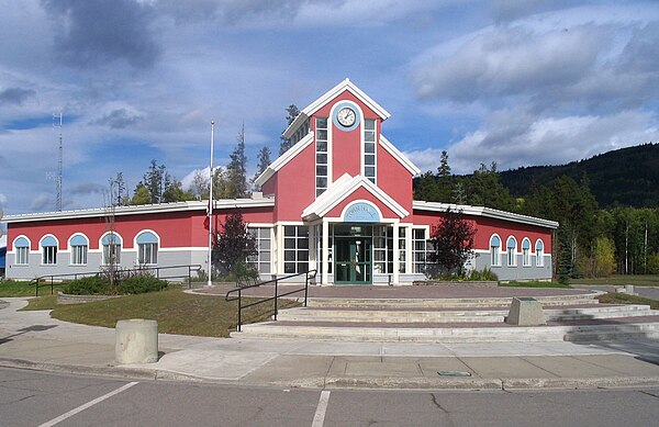
Tumbler Ridge district hall
Peace River Regional District
Videos
Page
The Peace River Regional District is a regional district in northeastern British Columbia, Canada. The regional district comprises seven municipalities and four electoral areas. Its member municipalities are the cities of Fort St. John and Dawson Creek, the district municipalities of Tumbler Ridge, Chetwynd, Taylor, and Hudson's Hope, and the village of Pouce Coupe. The district's administrative offices are in Dawson Creek.

Rolling grass hills just outside Fort St. John

Mixedwood forest wetland near Attachie