Tunnels of Gibraltar
Videos
Photos
The tunnels of Gibraltar were constructed over the course of nearly 200 years, principally by the British Army. Within a land area of only 2.6 square miles (6.7 km2), Gibraltar has around 34 miles (55 km) of tunnels, nearly twice the length of its entire road network. The first tunnels, excavated in the late 18th century, served as communication passages between artillery positions and housed guns within embrasures cut into the North Face of the Rock. More tunnels were constructed in the 19th century to allow easier access to remote areas of Gibraltar and accommodate stores and reservoirs to deliver the water supply of Gibraltar.

Entrance to the Prince's Gallery, excavated in 1790

The Rock of Gibraltar viewed from the north-west

Reconstruction showing members of the Soldier Artificer Company digging the Upper Gallery

Inside a gallery on the Rock of Gibraltar, engraved by I.C. Stadler after Rev C. Willyams (c. 1800)
Water supply and sanitation in Gibraltar
Videos
Photos
Water supply and sanitation in Gibraltar have been major concerns for its inhabitants throughout its history, from medieval times to the present day. The climate of Gibraltar is a mild Mediterranean one with warm dry summers and cool wet winters. Since daily records of rainfall began in 1790, annual rainfall has averaged a mean of 838 millimetres (33.0 in) with the highest volumes in December and the lowest in July. However, most of Gibraltar's small land area is occupied by the Rock of Gibraltar, a limestone outcrop that is riddled with caves and crevices. There are no rivers, streams, or large bodies of water on the peninsula, which is connected to Spain via a narrow sandy isthmus.
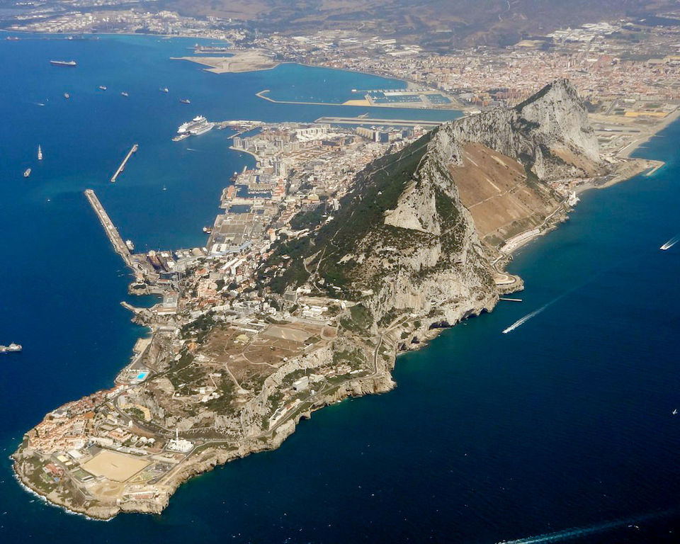
Aerial view of Gibraltar from the south-east

Nun's Well, thought to be the oldest surviving water storage structure in Gibraltar

A former Spanish fountain with gargoyles in Gibraltar, used from 1684 to 1962

A view of Main Street, Gibraltar in the early 19th century; it was permeated with foul smells from sewage trapped under the roadway