U.S. Route 50 in California
U.S. Route 50 (US 50) is a transcontinental United States Numbered Highway, stretching from West Sacramento, California, in the west to Ocean City, Maryland, in the east. The California portion of US 50 runs east from Interstate 80 (I-80) in West Sacramento to the Nevada state line in South Lake Tahoe. A portion in Sacramento also has the unsigned designation of Interstate 305. The western half of the highway in California is a four-or-more-lane divided highway, mostly built to freeway standards, and known as the El Dorado Freeway outside of downtown Sacramento. US 50 continues as an undivided highway with one eastbound lane and two westbound lanes until the route reaches the canyon of the South Fork American River at Riverton. The remainder of the highway, which climbs along and out of the canyon, then over the Sierra Nevada at Echo Summit and into the Lake Tahoe Basin, is primarily a two-lane road.

This sign at the west end indicates the distances to Placerville, South Lake Tahoe, and the east end of the route in Ocean City, Maryland
Eastbound US 50 approaching the I-80 BL/SR 99 interchange in Sacramento
Descending eastbound from Echo Summit towards the Lake Tahoe Basin
US 50 winds down Echo Summit
Interstate 80 in California
Interstate 80 (I-80) is a transcontinental Interstate Highway in the United States, stretching from San Francisco, California, to Teaneck, New Jersey. The segment of I-80 in California runs east from San Francisco across the San Francisco–Oakland Bay Bridge to Oakland, where it turns north and crosses the Carquinez Bridge before turning back northeast through the Sacramento Valley. I-80 then traverses the Sierra Nevada, cresting at Donner Summit, before crossing into the state of Nevada within the Truckee River Canyon. The speed limit is at most 65 mph (105 km/h) along the entire route instead of the state's maximum of 70 mph (110 km/h) as most of the route is in either urban areas or mountainous terrain. I-80 has portions designated as the Eastshore Freeway and Alan S. Hart Freeway.
The western terminus of I-80 in San Francisco, viewed from northbound US 101
Eastshore Freeway in Berkeley, view south toward Pacific Park Plaza in Emeryville
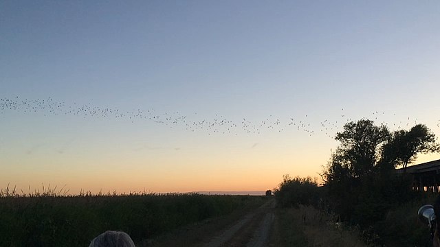
Bats flying from under the Yolo Causeway in Yolo County
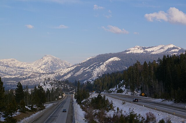
Looking northeast along I-80 in the Sierra Nevada from the Yuba Gap overpass