U.S. Route 6 in Pennsylvania
Videos
Page
U.S. Route 6 (US 6) travels east–west near the north edge of the U.S. state of Pennsylvania from the Ohio state line near Pymatuning Reservoir east to the Mid-Delaware Bridge over the Delaware River into Port Jervis, New York. It is the longest highway segment in the commonwealth. Most of it is a two-lane rural highway, with some freeway bypasses around larger towns. Except east of Dunmore, where it is paralleled by Interstate 84 (I-84), it is the main route in its corridor. What is now I-80—the Keystone Shortway—was once planned along the US 6 corridor as a western extension of I-84. The corridor was originally the Roosevelt Highway from Erie, Pennsylvania, to Port Jervis, New York, designated Pennsylvania Route 7 (PA 7) in 1924. The PA 7 designation soon disappeared, but, as US 6 was extended and relocated, the Roosevelt Highway followed it. The Pennsylvania section of US 6 was renamed the Grand Army of the Republic Highway in 1946; this name was applied to its full transcontinental length by 1953.

US 6 eastbound west of Conneaut Lake

US 6 eastbound/US 19 northbound crossing the French Creek in Cambridge Springs

US 6 eastbound in McKean County

US 6 eastbound past PA 44 in Sweden Valley
Interstate 84 in Pennsylvania
Videos
Page
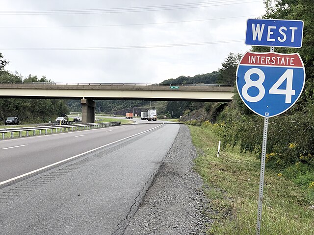
Interstate 84 (I-84) in Pennsylvania is the westernmost segment of the eastern I-84. Within Pennsylvania, it runs from I-81 in Dunmore east to the New York border near Matamoras.
I-84 westbound at PA 247 in Jefferson Township

I-84 crossing from Wayne County into Pike County