U.S. Route 75 is a north–south U.S. Highway that runs 1,239 miles (1,994 km) in the central United States. The highway's northern terminus is located at the Canadian border near Noyes, Minnesota, at a now-closed border crossing. From this point, the highway once continued farther north as Manitoba Highway 75. Its southern terminus is located at Interstate 30 (I-30) and I-45 in Dallas, Texas, where US 75 is known as North Central Expressway.
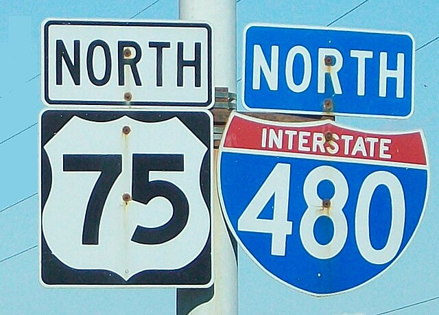
U.S. Route 75/I-480 sign in Omaha
Georgetown, Minnesota is on U.S. Route 75
United States Numbered Highway System
The United States Numbered Highway System is an integrated network of roads and highways numbered within a nationwide grid in the contiguous United States. As the designation and numbering of these highways were coordinated among the states, they are sometimes called Federal Highways, but the roadways were built and have always been maintained by state or local governments since their initial designation in 1926.
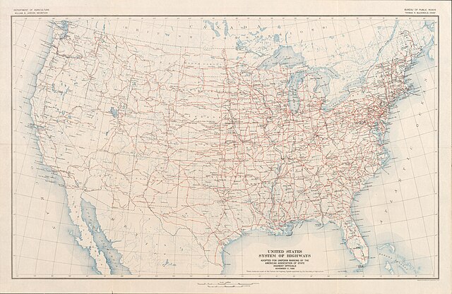
The "final" U.S. Highway plan as approved November 11, 1926
This sign, photographed in 1941 on US 99 between Seattle, Washington, and Portland, Oregon, illustrates one rationale for a federal highway system: national defense.


