U.S. Highway 83, part of the United States Numbered Highway System, runs from the Mexican border in Brownsville, Texas, to the Canadian border near Westhope, North Dakota. In the state of South Dakota

Southbound US 83 in Fort Pierre

The Missouri River Bridge in Pierre
U.S. Route 83
Videos
U.S. Route 83 is a major north–south United States Numbered Highway that extends 1,885 miles in the central United States. Only four other north–south routes are longer: US 1, US 41, US 59, and US 87,
U.S. Route 83 in South Dakota
…Highway 83 US 83 highlighted in red Route information Maintained by SDDOT Length 240.36 mi (386.82 km) Existed 1926–present Major junctions South end US 83 near Olsonville US 18 in Mission I-90 from Murdo to Vivian US 14 from Fort Pierre to Blunt US 212 near Gettysburg US 12 near Selby North end US 83 near…
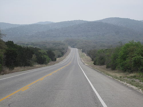
US 83 as it winds through the Texas Hill Country in Uvalde County, Texas

A view of the Dismal River, Nebraska Sandhills, and US 83 in Thomas County, Nebraska

Looking south at the intersection of US 83 and I-90 in Murdo, South Dakota

US 83 (along with I-2) traveling through a major retail district of McAllen, Texas.